
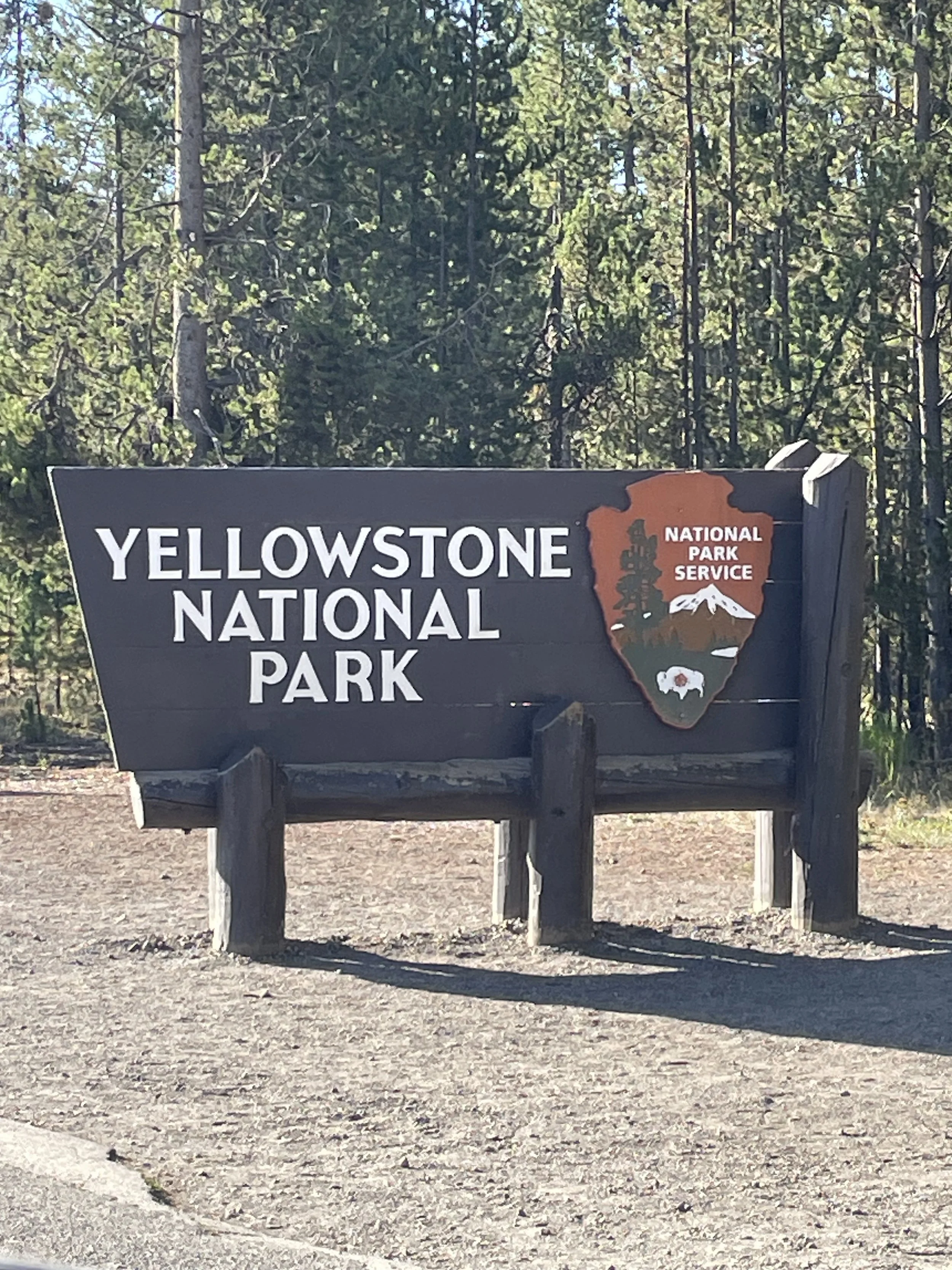
Idaho-Montana-Wyoming: Yellowstone National Park
The first National Park commissioned in 1872 by Congress and President Grant has… some space and some history. Today the name Yellowstone has been popularized by the TV series Yellowstone and the Montana based Dutton Ranch where the series is based. Few reality checks, there is a real ranch used for the filming and it’s the Chief Joseph Ranch in Darby, Montana. Darby is about 4 hours west of Yellowstone National Park and it’s closer to Idaho than Wyoming and Yellowstone. While Kosner and the rest of the cast might have the modern day corner on the Montana life it came as a surprise to see where the state lines really are and to process just how BIG Yellowstone really is. It covers 3,472 sq miles and since that’s hard to put to scale, it is 3x time the size of the state of Rhode Island and bigger than Chicago, LA and NY combined. Other than size, there were some quirky aspects of the park we wanted to research.
The “Train Station” referenced in the Yellowstone TV series is the location where bodies are disposed of and enemies dealt with due to its location in a geographical dead zone of the legal system where no crime can be prosecuted. While this makes for good TV drama it’s not accurate… yet it’s also partially true. The actual “Zone of Death” does exist in the Idaho portion of Yellowstone. This space is only approximately 1% of the federal park land that extends into the sparsely populated eastern Idaho mountains. The legal loophole is called the Vicinage Clause and is related to how a jury of peers would/could be gathered to try a murder case. In this portion of Idaho there simply aren’t enough people to be called to serve on a jury so the zone is a legal conundrum for a capital crime. The Montana portion of Yellowstone is similar and accounts for about 3% of Yellowstone Park but it has a higher population census and a jury could be convened for a capital crime trial by peers in the strip of Yellowstone that is in Montana. You may also be curious why such a border crossing issue would occur for the National Park. It isn’t because the state lines were established after the park, it’s actually a zoning of the park land based on the Congressional Commission of the park and its natural resources to be protected. Bit of legal and geographic history for the countries oldest park and North America’s largest volcano!
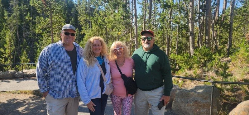
We were fortunate to get 6 days due to a cancellation in West Yellowstone KOA (Montana) so we benefited from multiple trips into the park, despite the significant amount of driving time invested in driving into Yellowstone. West Yellowstone is great for offsite stays and in our case last minute reservations. We were also fortunate to land a spot near our RV friends from NJ… Congratulations Rick for retiring and for your first month stretching out those retirement miles! There are a number of parks with good amenities and you can get into West Yellowstone for dinner and other entertainment but you are going to end up driving at least 30 minutes to get to any of the major Yellowstone sites minimum. This park is BIG and a 2 hr drive is normal to most of the 5 major hubs in the park. That doesn’t account for traffic and/or animal delays due to road blockage, both are common during August. In 5 days of Yellowstone exploration we put over 490 miles and more than 12 hours of drive-time. August 3-5th were Disney level busy with lines at all the major hubs and parking lots, as well as some absolutely nutty driving in the park. We had a motorcycle come at us head-on down a 1 way street and passed a 4 car wreck at a 3 ways stop with one car landing in the forest… how, at a stop sign? For Mom/Dad and our friends Elizabeth and Rick it was worth it but for the kids it was… less than desirable. Good thing Mom/Dad are in charge 🤪
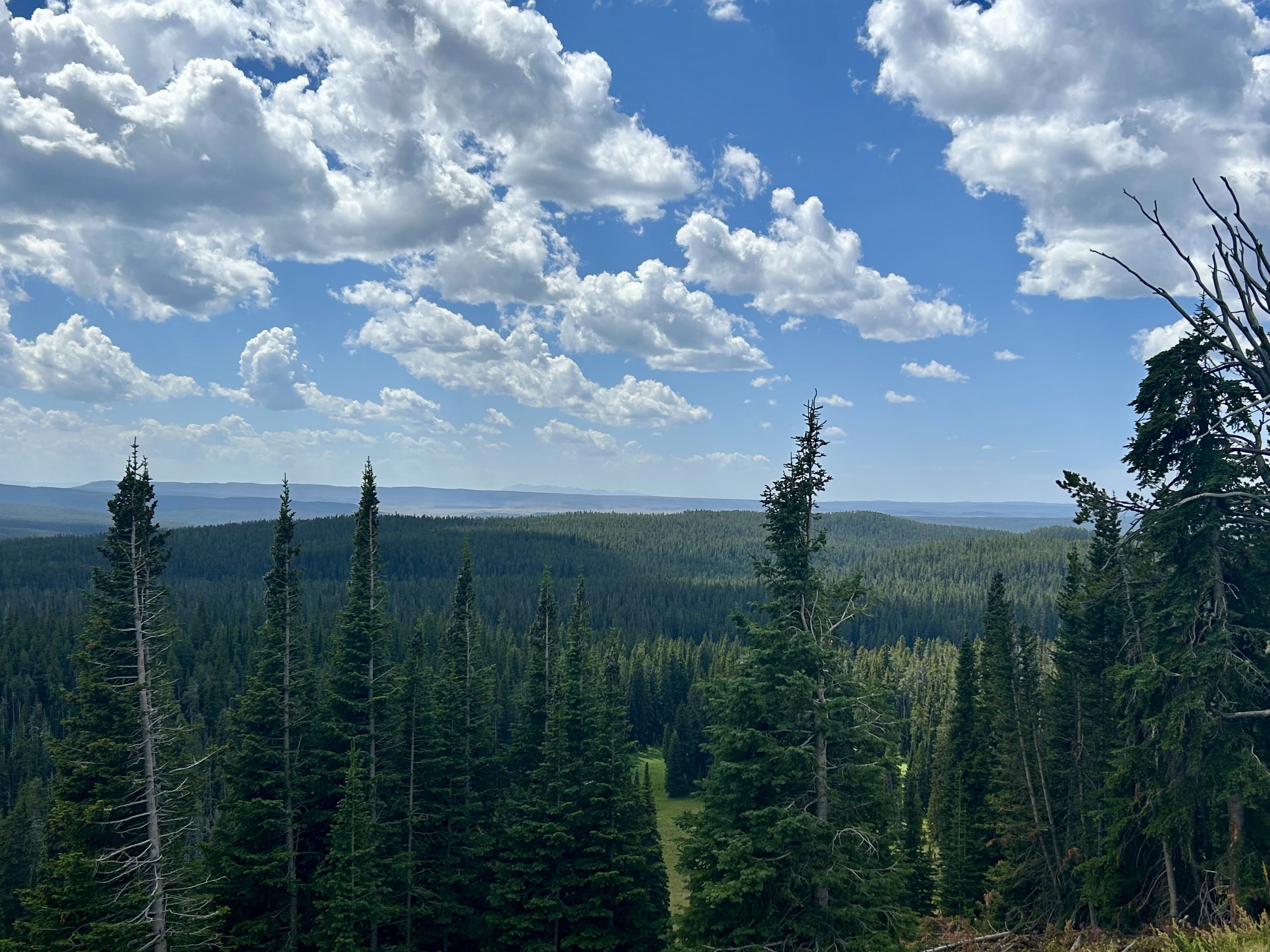
Major sites visited are marked with the photos and listed below. This is some truly unique landscape and unlike the volcanic parks visited on the west coast. The land is lush and full of rivers and animals despite the vast number of thermal geysers and hot sulfur smelling springs, over 500 across the park. Some parts look like you’re in outer space but then a bunny hops by or you step in a Bison patty. So there were numerous stops not noted on our targeted location list but we recommend all listed and shown! We had good weather for most mornings and afternoons, with late afternoon storms the norm so plan to be back to camp for dinner if you want to avoid the rains.
Yellowstone Sites
Day 1 (west) Madison, Gibbons Meadows, Elk Park, & Norris Geyser Basin
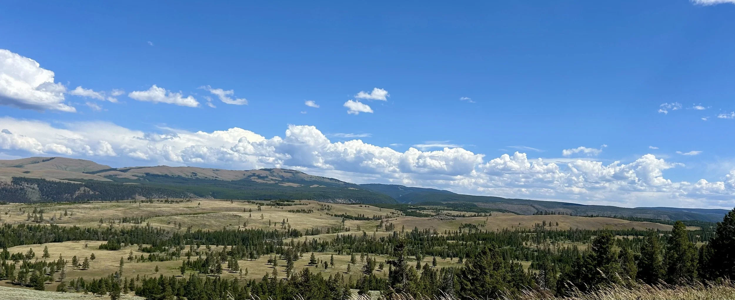
Day 2 (north east) Grand Canyon of Yellowstone, Mount Washburn, & Lamar Valley
Day 3 (north west) Mammoth Hot Springs Upper Terrace, Albright Visitor Center-Fort Yellowstone, Obsidian Cliff, Galatin Range, Roaring Mountain & revisited Norris Basin.
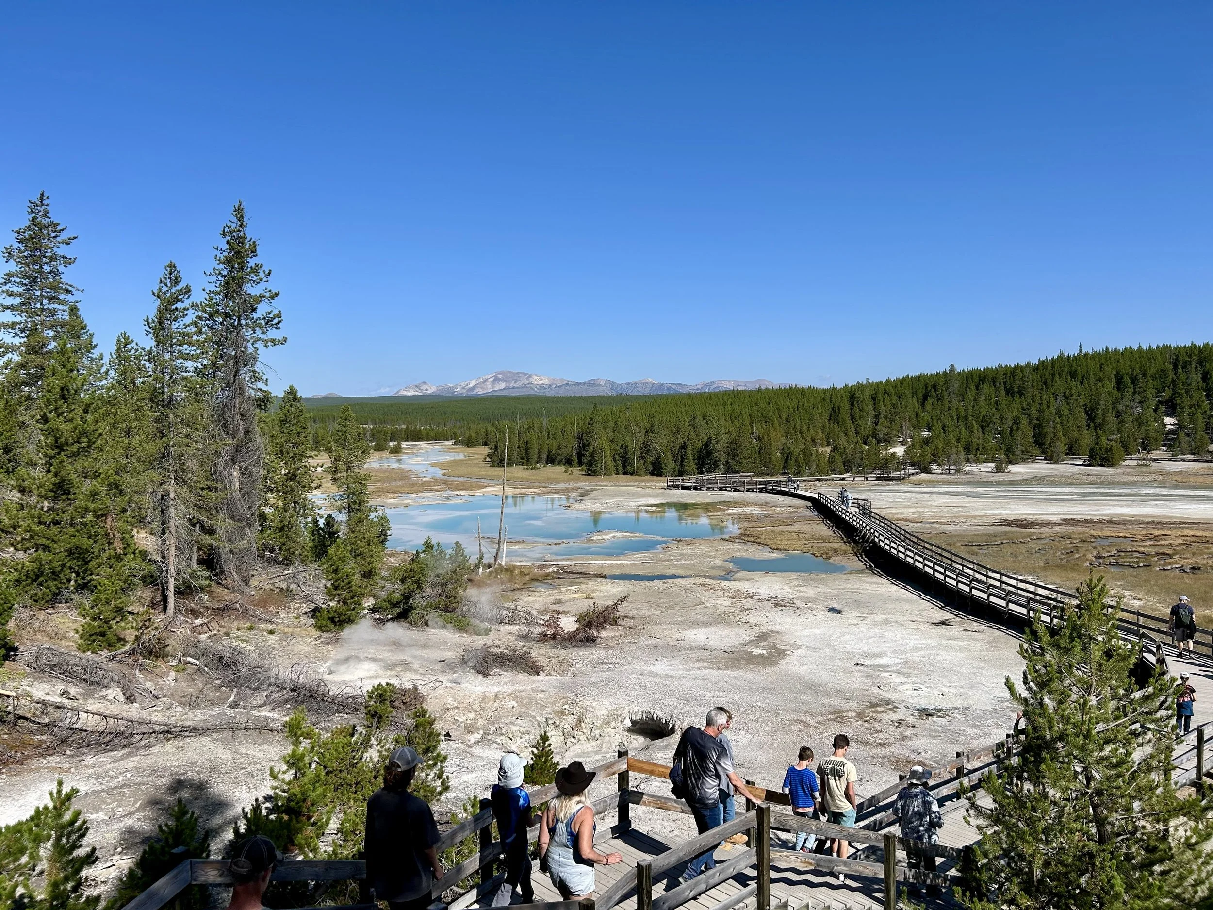
Day 4 (southwest) Old Faithful and Visitor Center, Midway Geyser Basin, Grande Prismatic Spring & Firehole Canyon
Day 5 (south) South Grand Loop Dr and the Continental Divide, West Thumb, Lewis Lake and Lewis Canyon
Missed the Southeast Lake Yellowstone and Hayden valley areas… driving fatigue and we needed some downtime for Peyton’s 15th birthday!
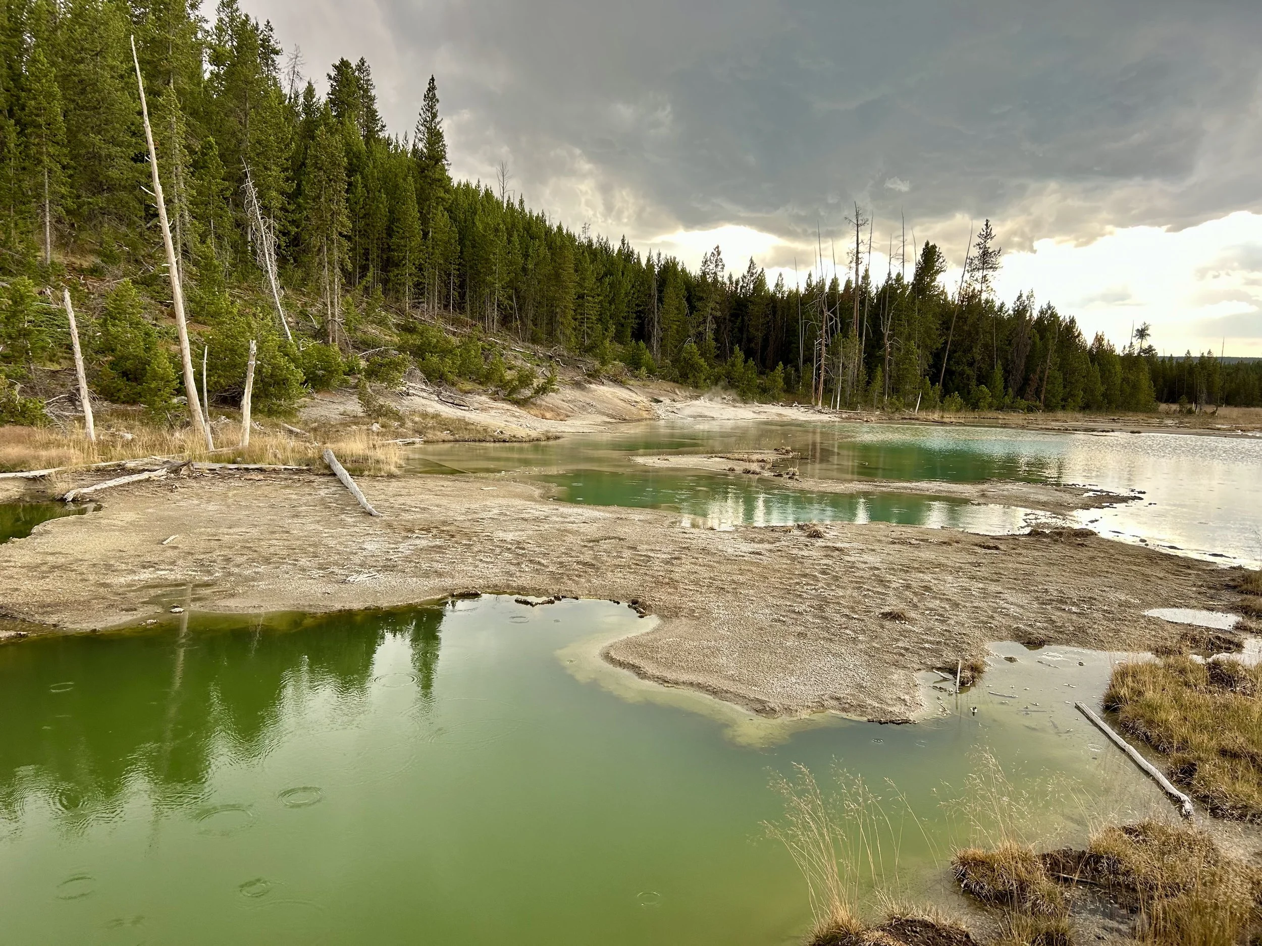
Norris Gyser Basin… amazing variety of colors and thermal features. The roughly mile loop is like walking on another planet!


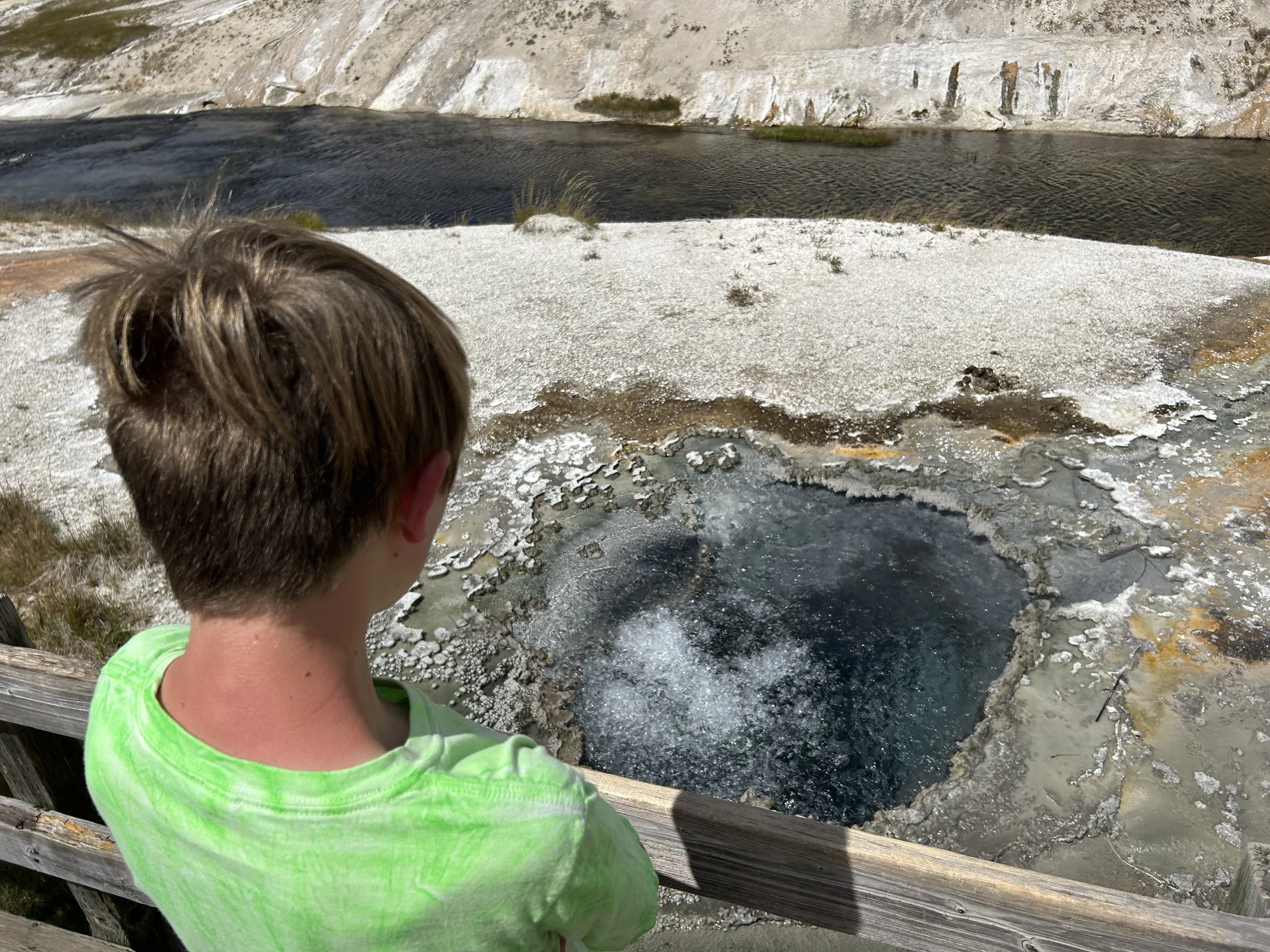
Robert and Jayden pondering the geysers and hot springs.

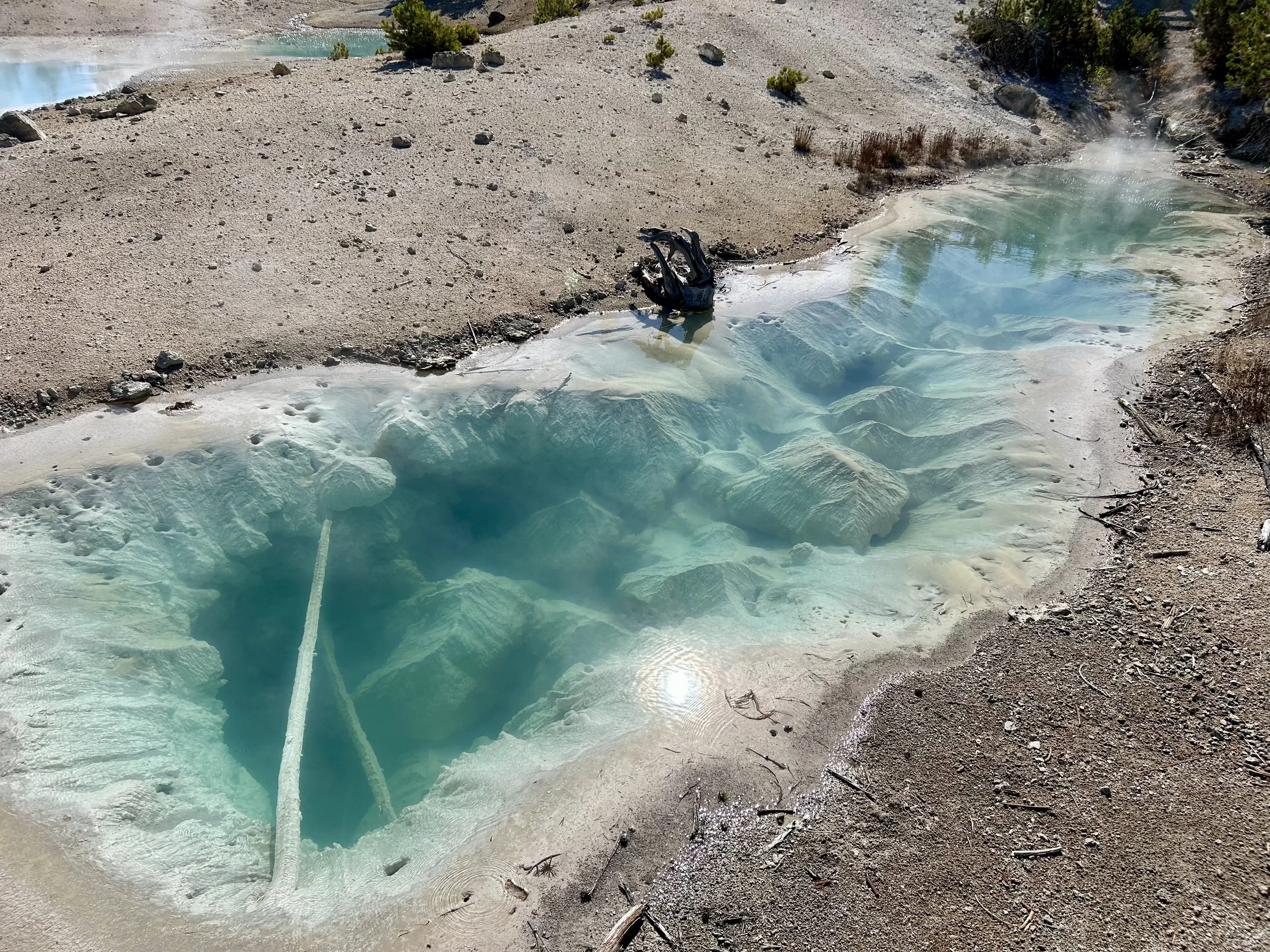


While all thermal features vent steam and/or gases, some of them have a constant flow and some a very high volume. Makes you appreciate you’re walking on top of a volcano!

Gibbon Falls down river view.

Gibbon Falls with friends is a good thing!
Elk in Madison Creek Meadow was common but where and when you see them varied. .

Exploring and rock throwing at a Madison River turnout!

Drive back to camp around sunset was always pretty!
Day 2

Purple fireweed is found throughout the park. Its pretty and hearty and one of the first thinks to grow ack after a fire.

Exploring behind our KOA camp and found a few beaver dams but no beaver.

KOA camp creek with a view toward Yellowstone.
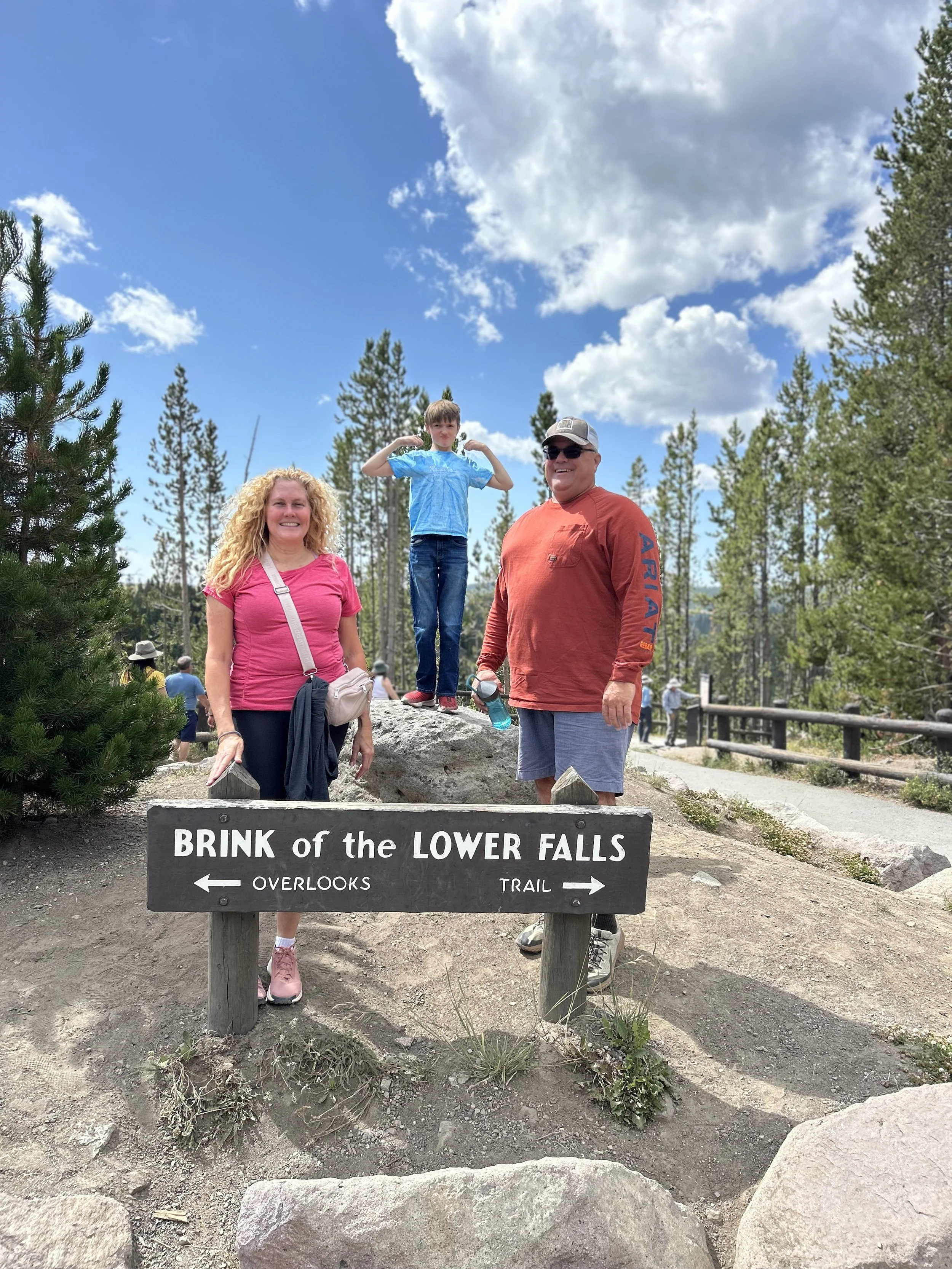
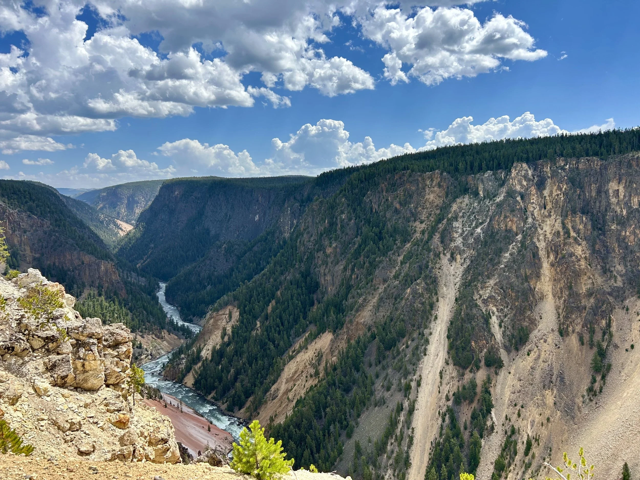
800 ft decent over .6 miles to the brink of the Yellowstone Falls!


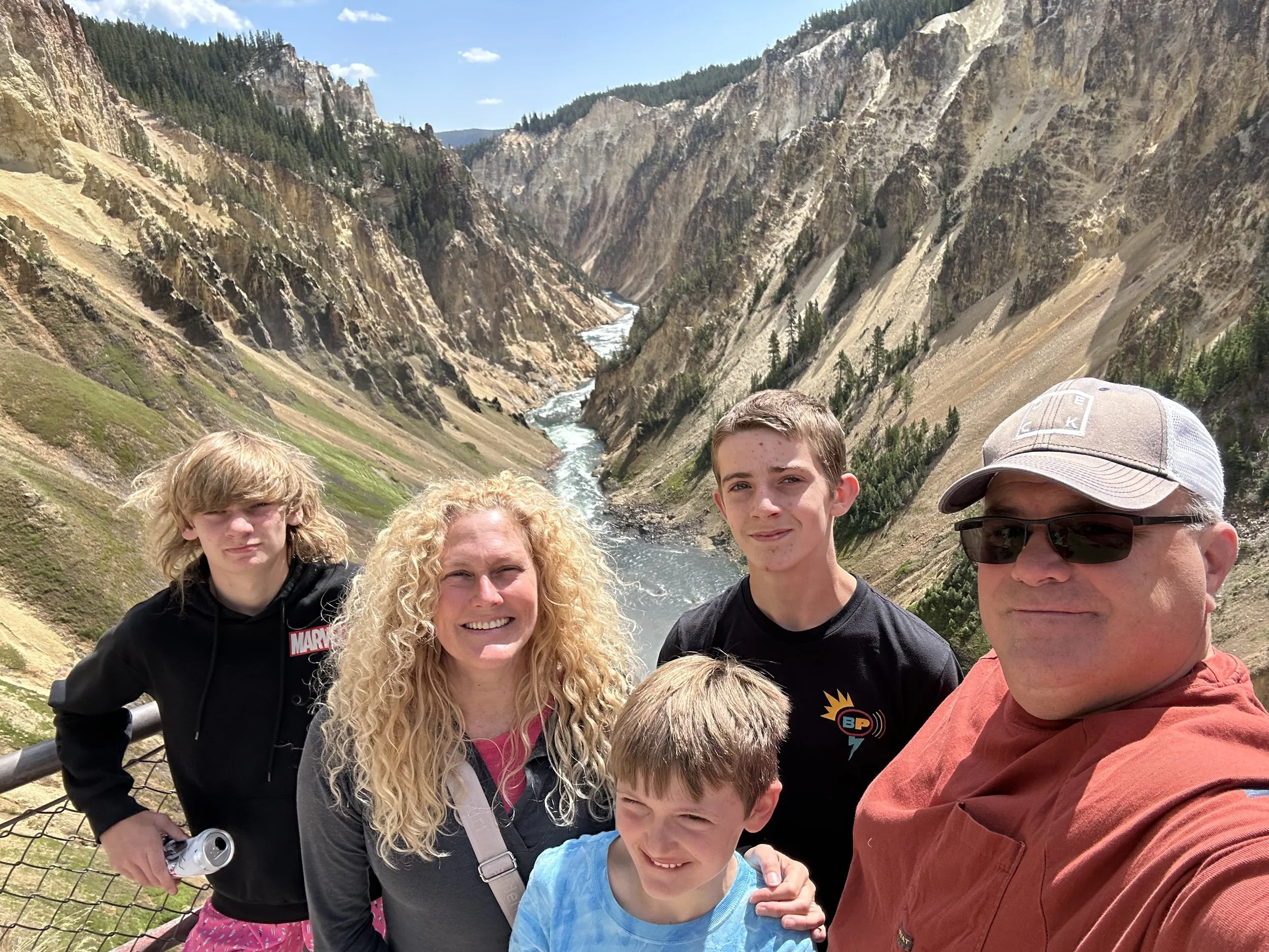
Grand Canyon of Yellowstone from atop Yellowstone Falls.

Climb back out from the Brink was a touch tougher than the decent… Dad took a bit longer :oP
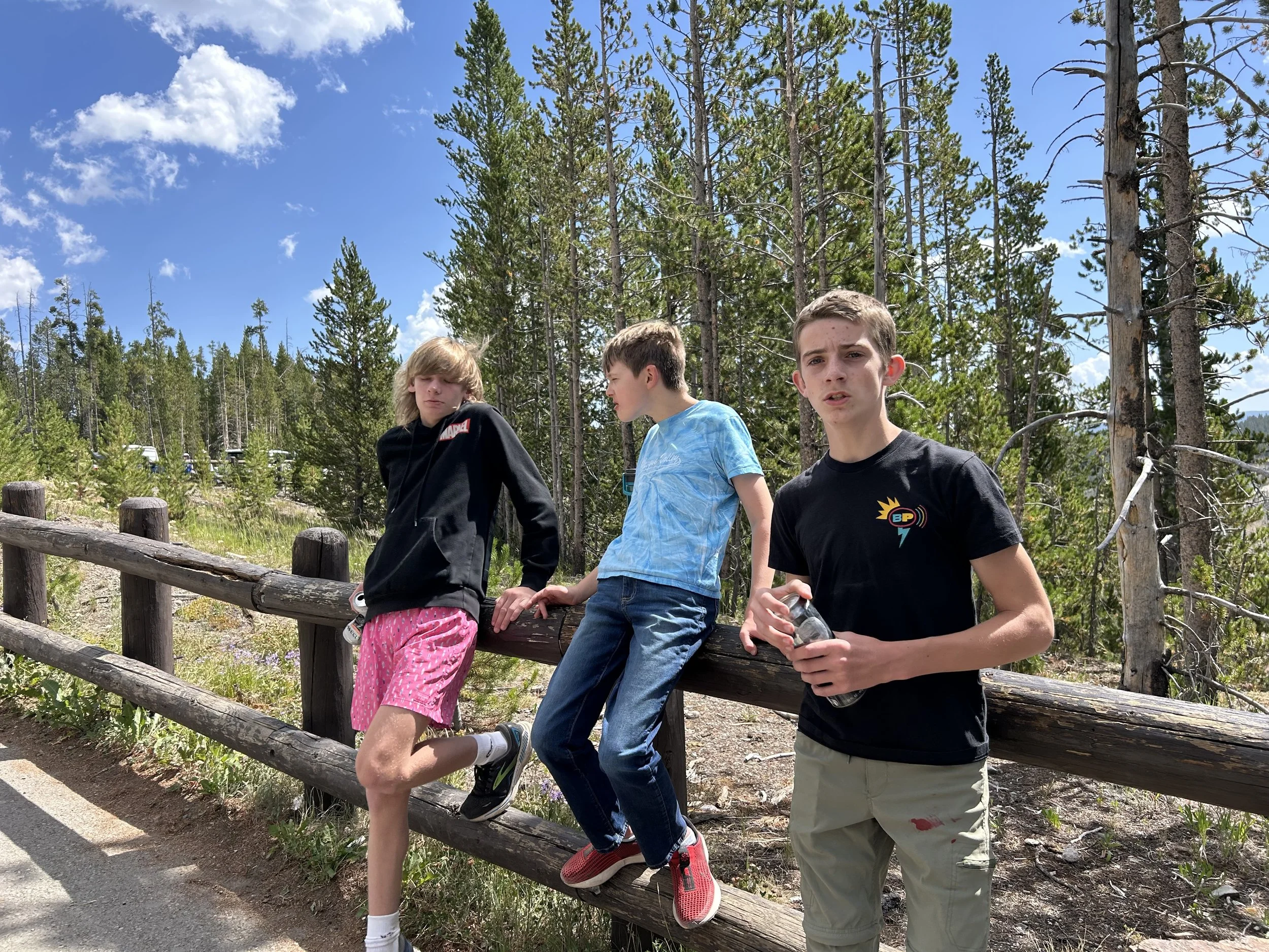
The boys were nice enough to wait for Dad :)


More Grand Canyon of Yellowstone

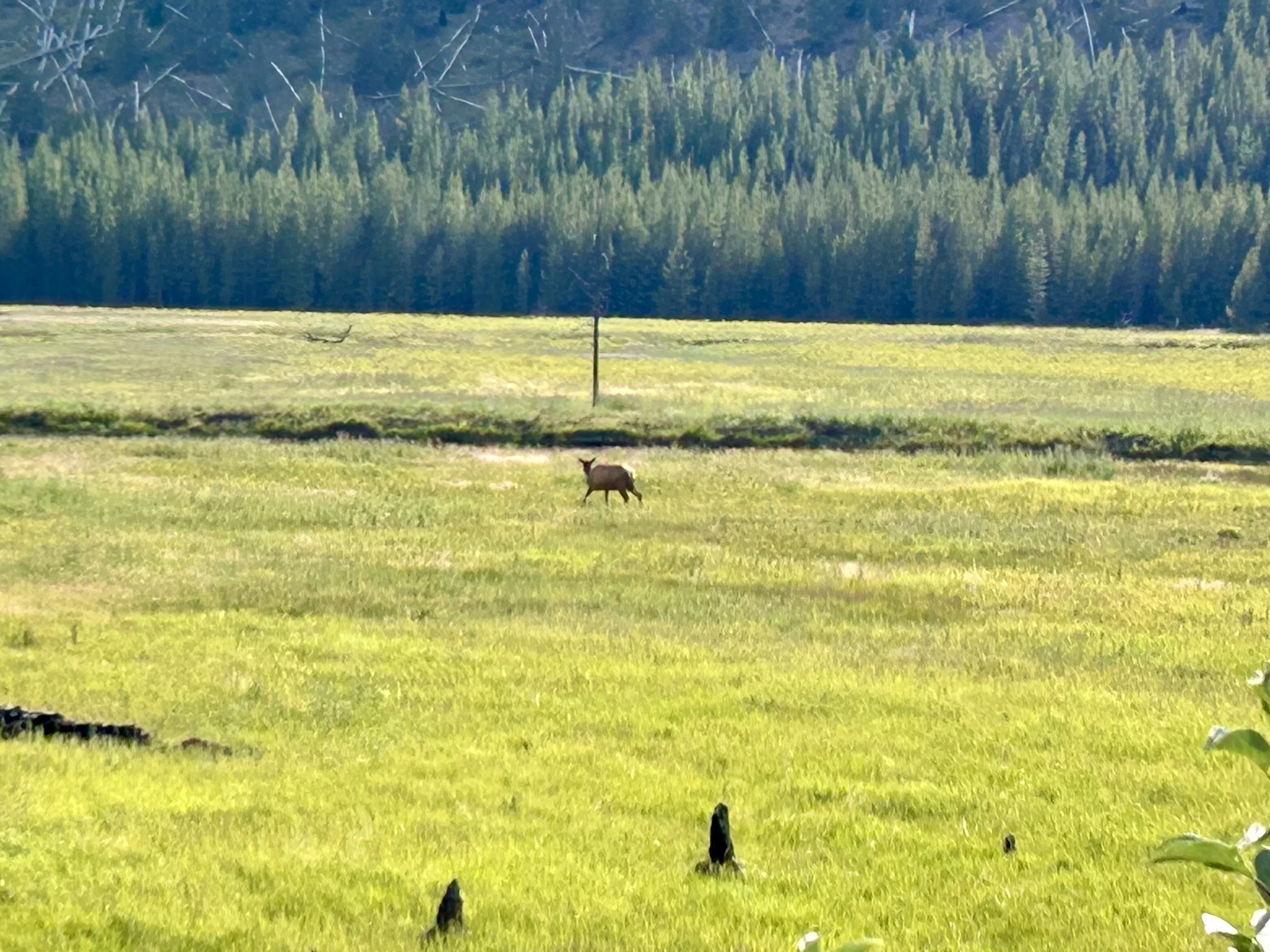
Young buck and doe on the hill watching traffic.

View from Mount Washburn lookout from Chittenden Road at about 8200 ft.

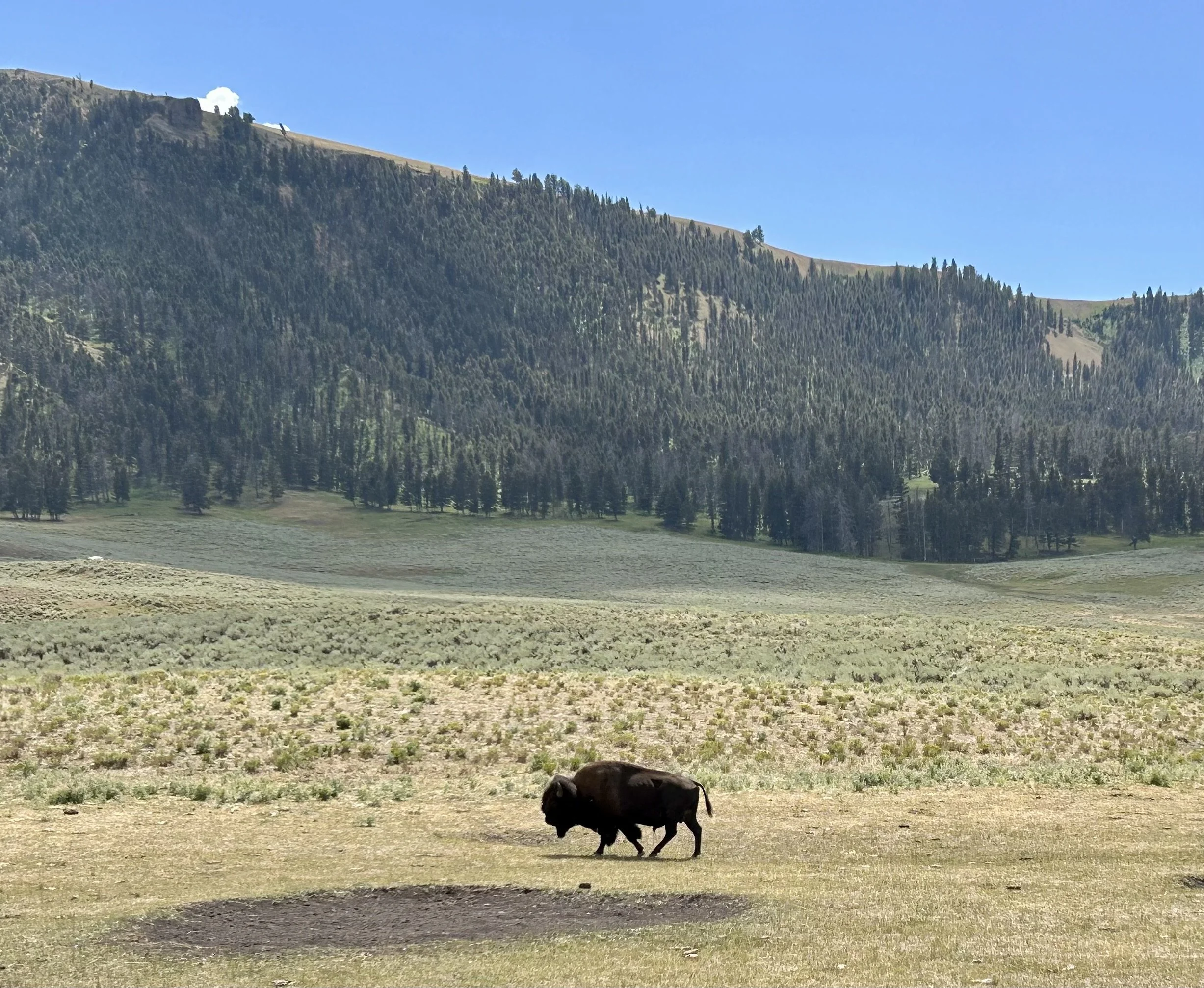
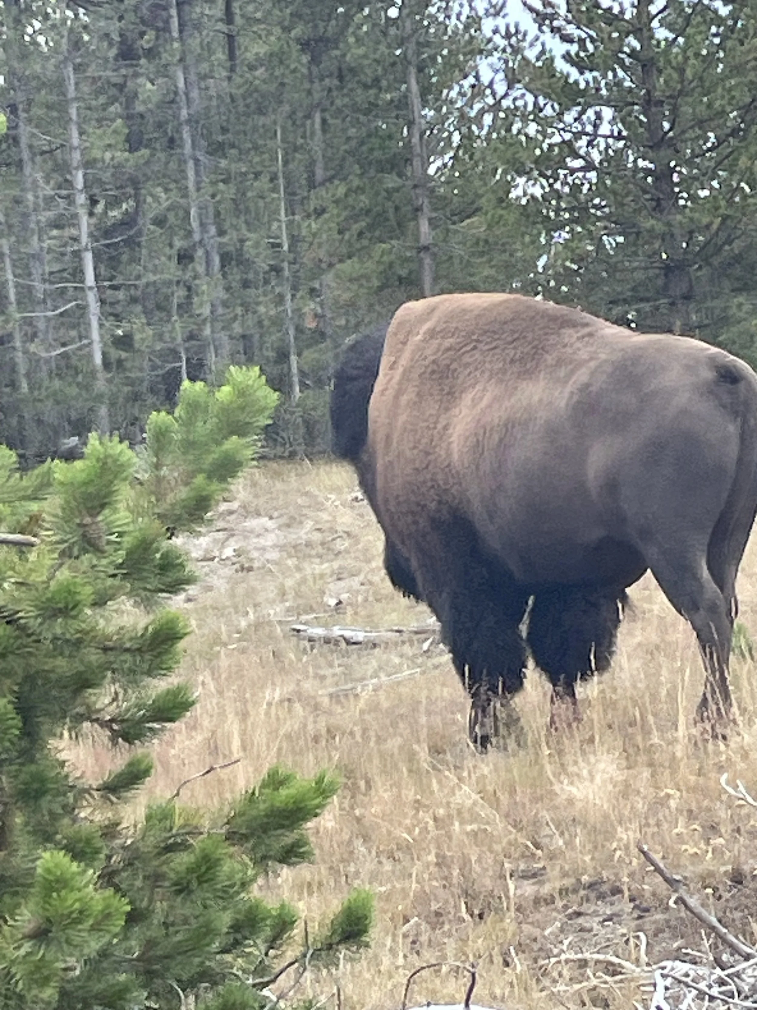
A lone Bison in Lamar Valley :)

Lamar Valley Bison

Pronghorn in Lamar Valley

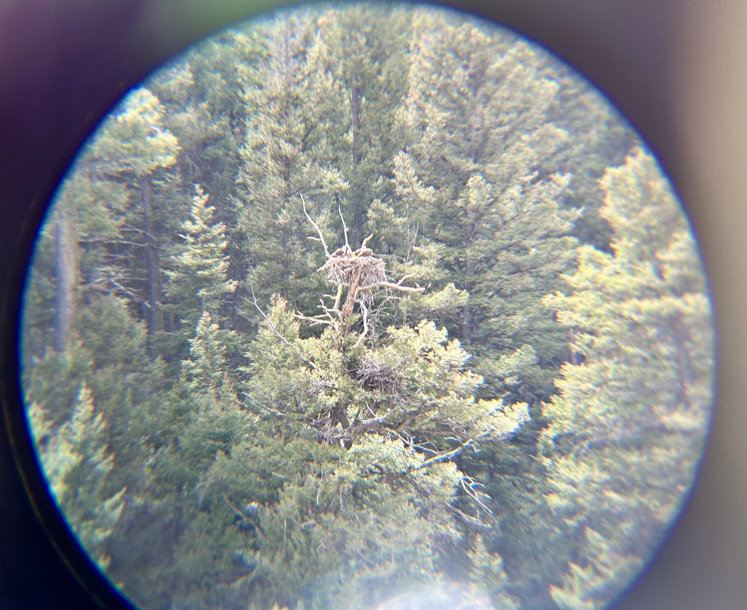
Eagle nest through the binoculars.

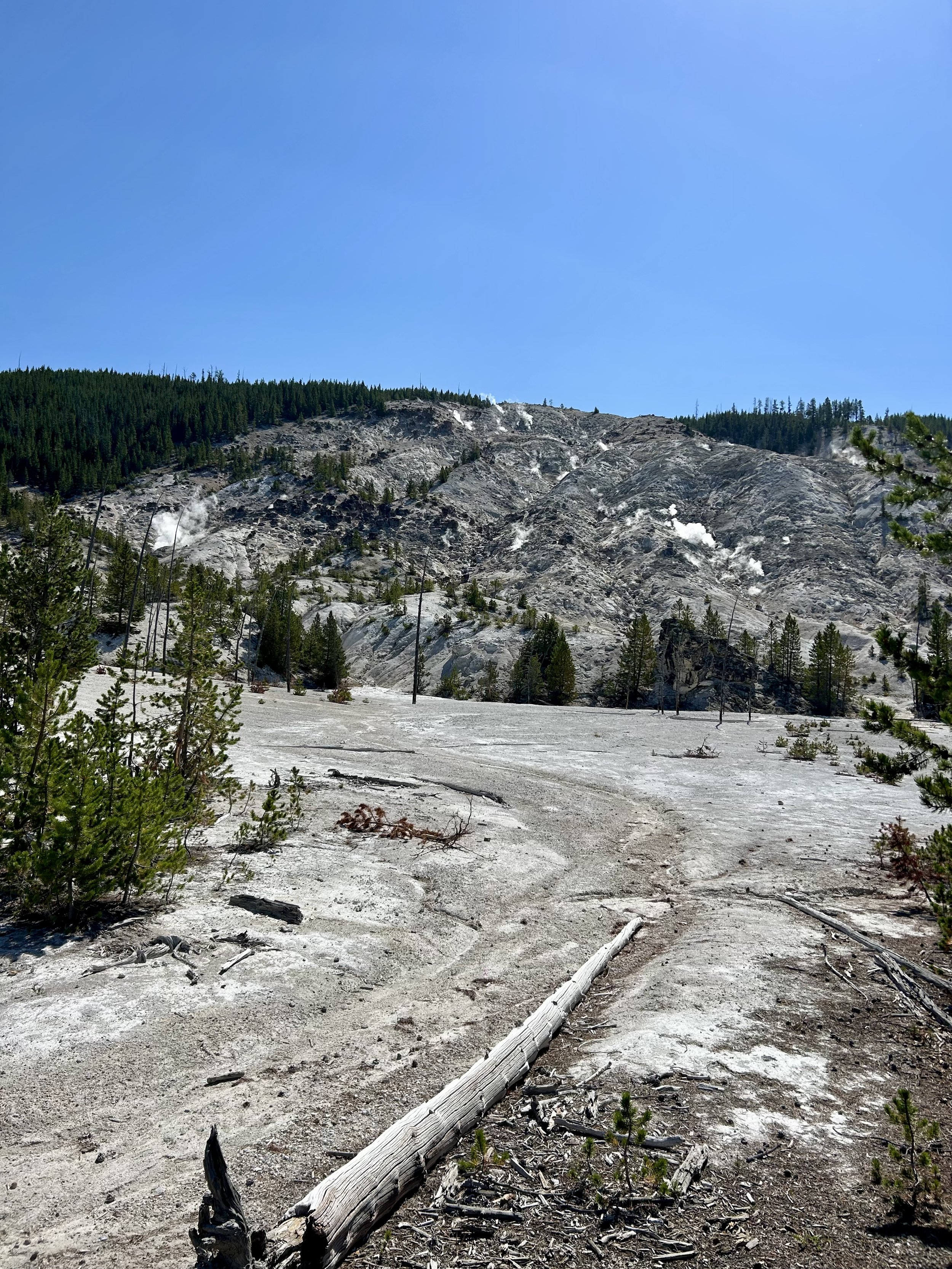
Roaring Mountain

Fort Yellowstone Visitor Center elk encounter. Vince is standing by the head… it’s big!
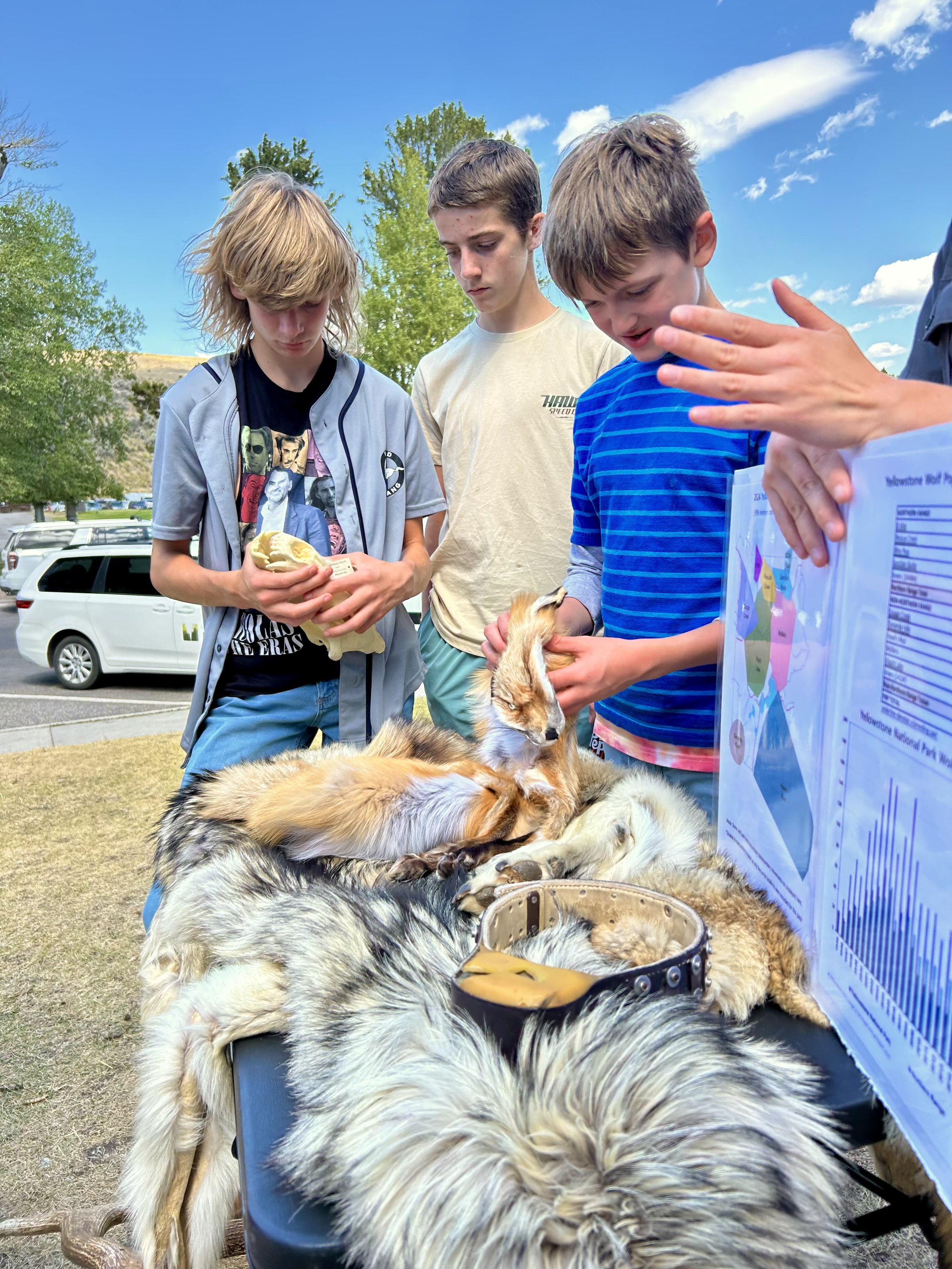
Jr. Ranger Program exploring and learning about Yellowstone Fox, Coyote and Wolf.

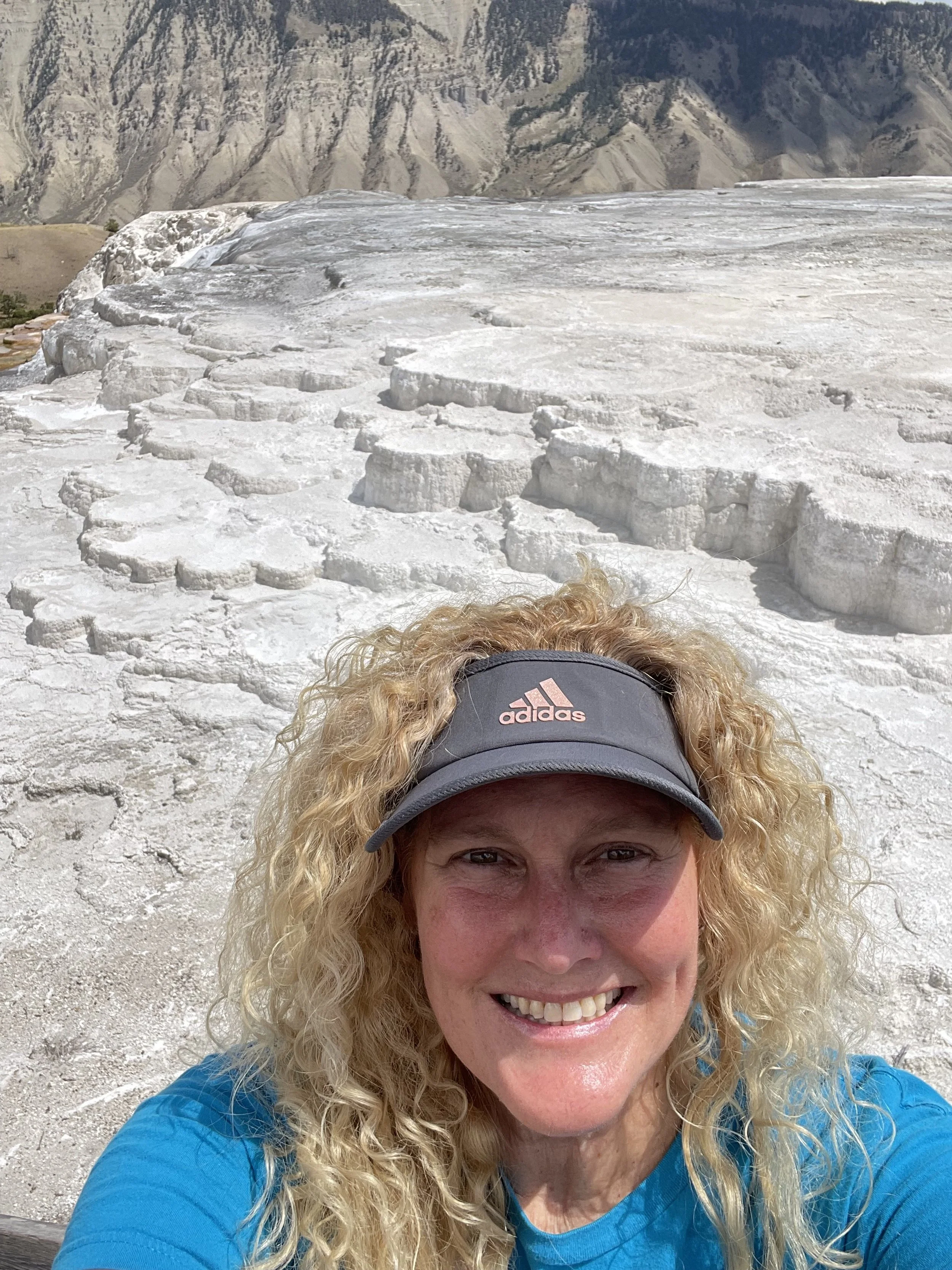
Lunch at Fort Yellowstone picnic area with Mammoth Springs (white hills) in the background.
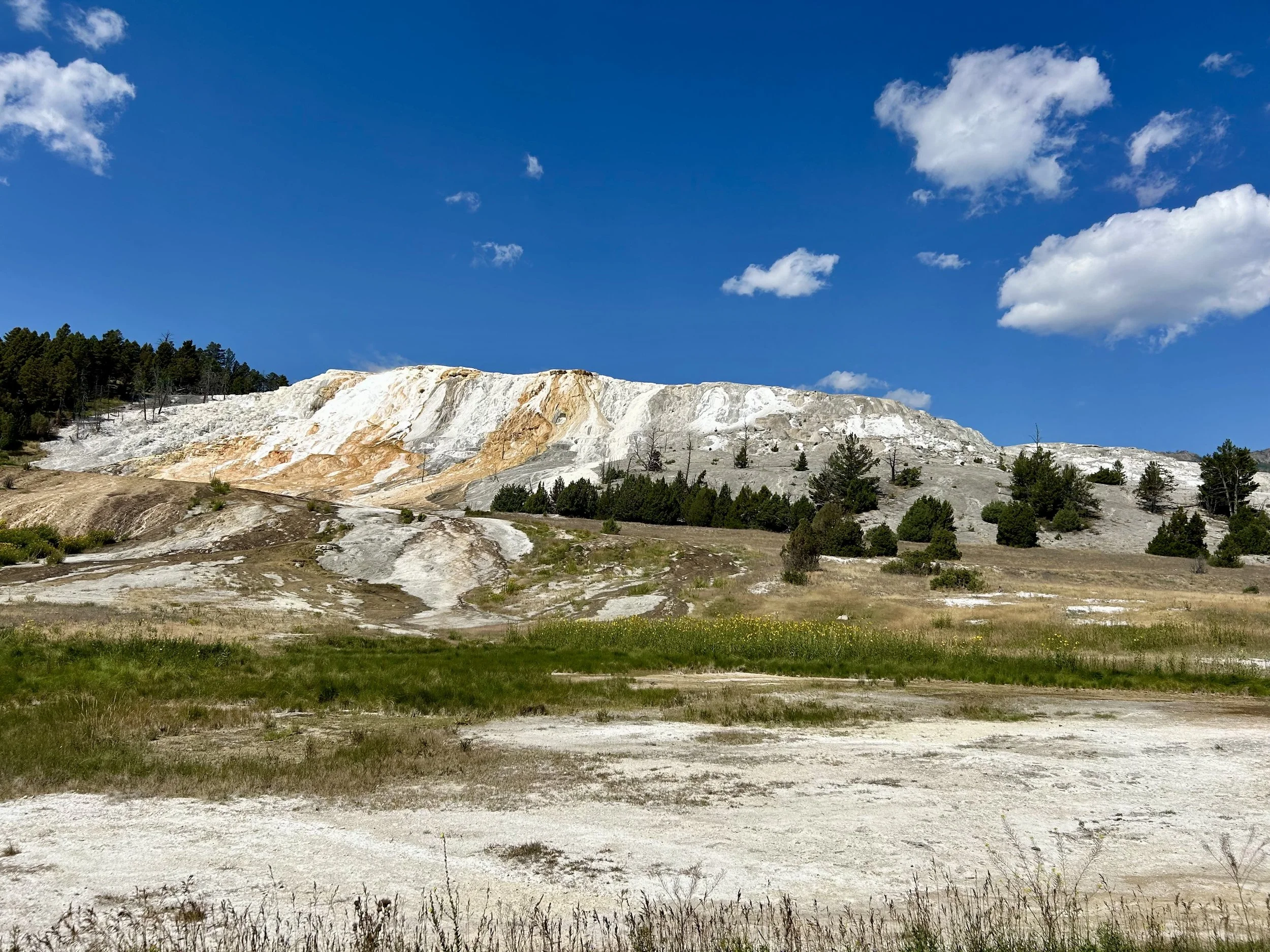
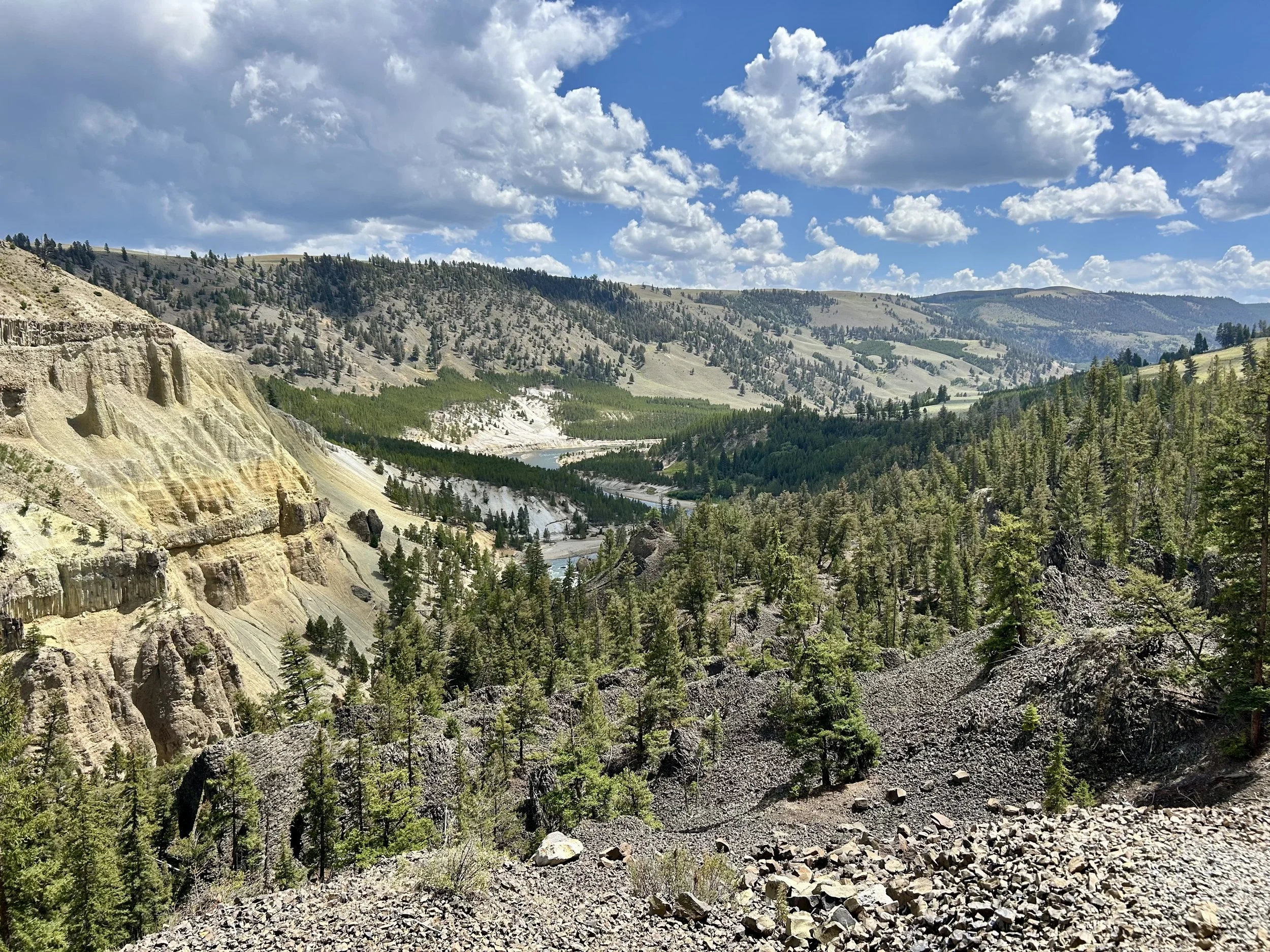
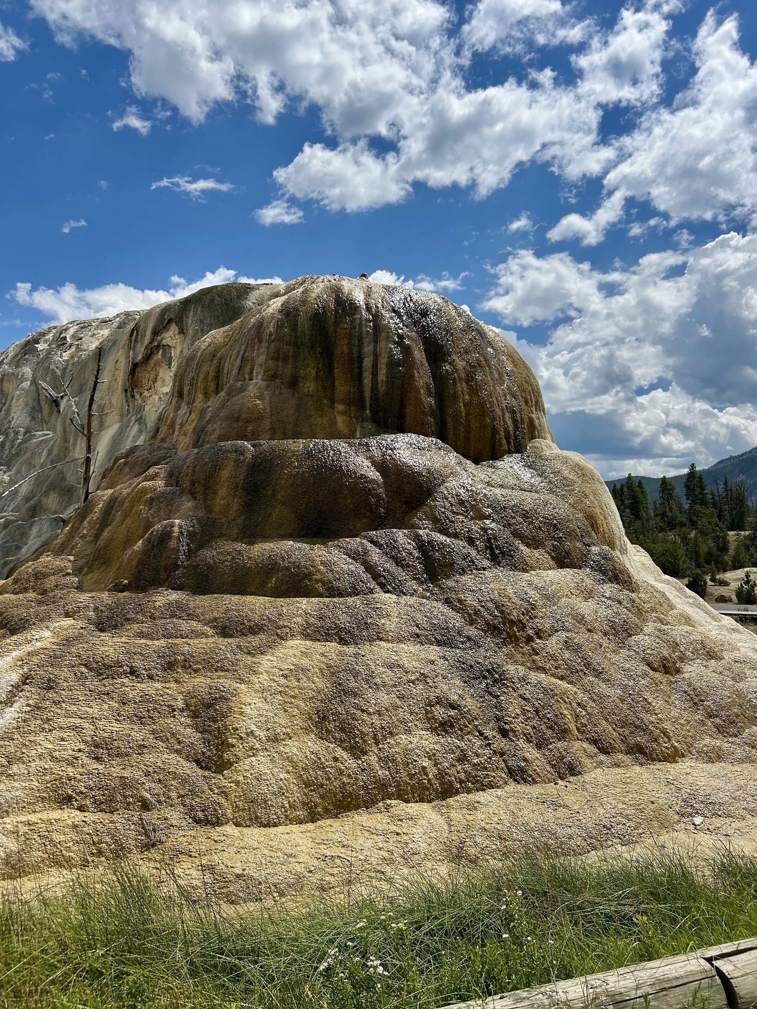
Mammoth Spring is a large hillside that is constantly changing. Our friends visited a decade earlier and mentioned how much more water flow was visible on the face back then; however, according to the park information the volume of Mammoth Spring has not changed, just found new areas to rise to the surface creating new features.
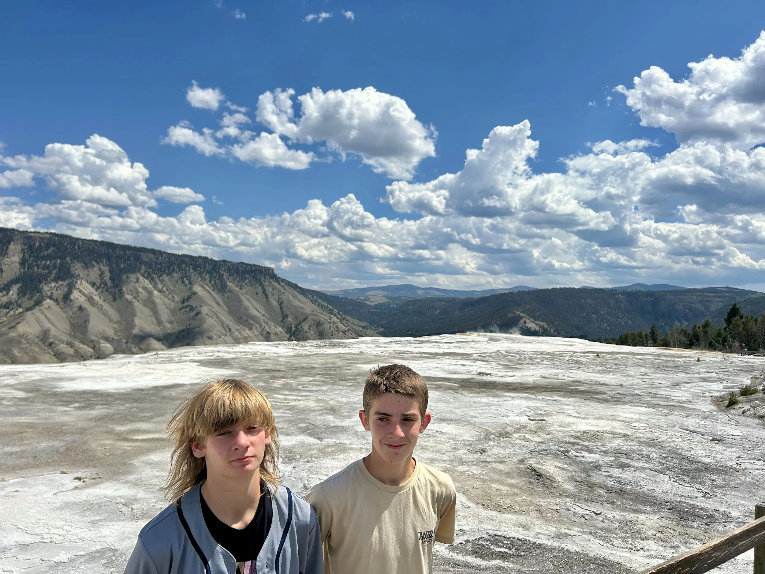
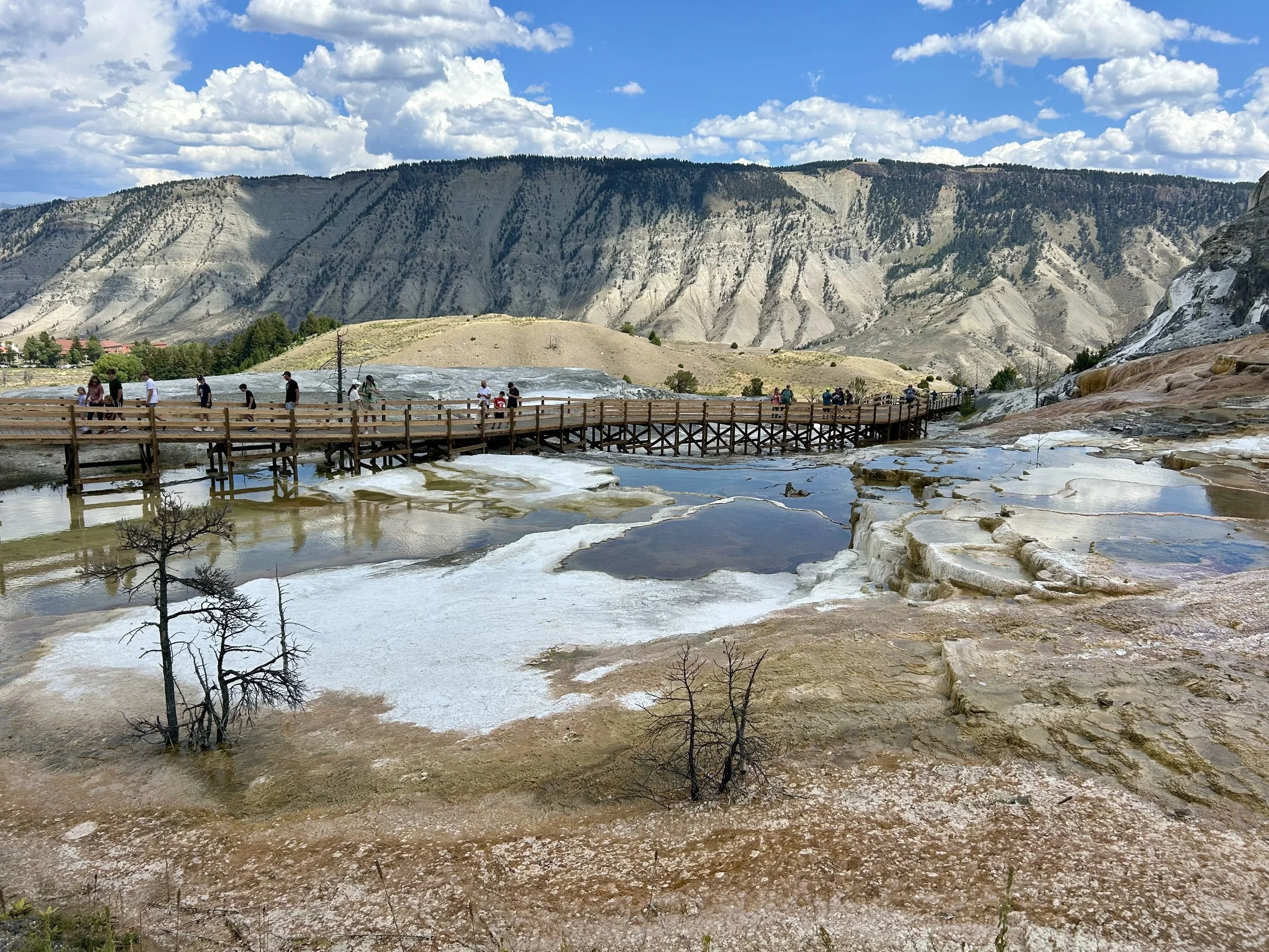
Upper Terrance View


A 6 ft Bull Snake made an appearance between the hot springs. Looks like rattlesnake markings but it’s just camouflage for the nonvenomous snake. Evidently if threatened it mimics a rattle and coils up like its venomous cousin.


These pancake pools were impressive.
A dried up portion of a former cascade but brilliant under the mid-day sun.
Not sure the actual name but the boys labeled it the BUTT Spring :)


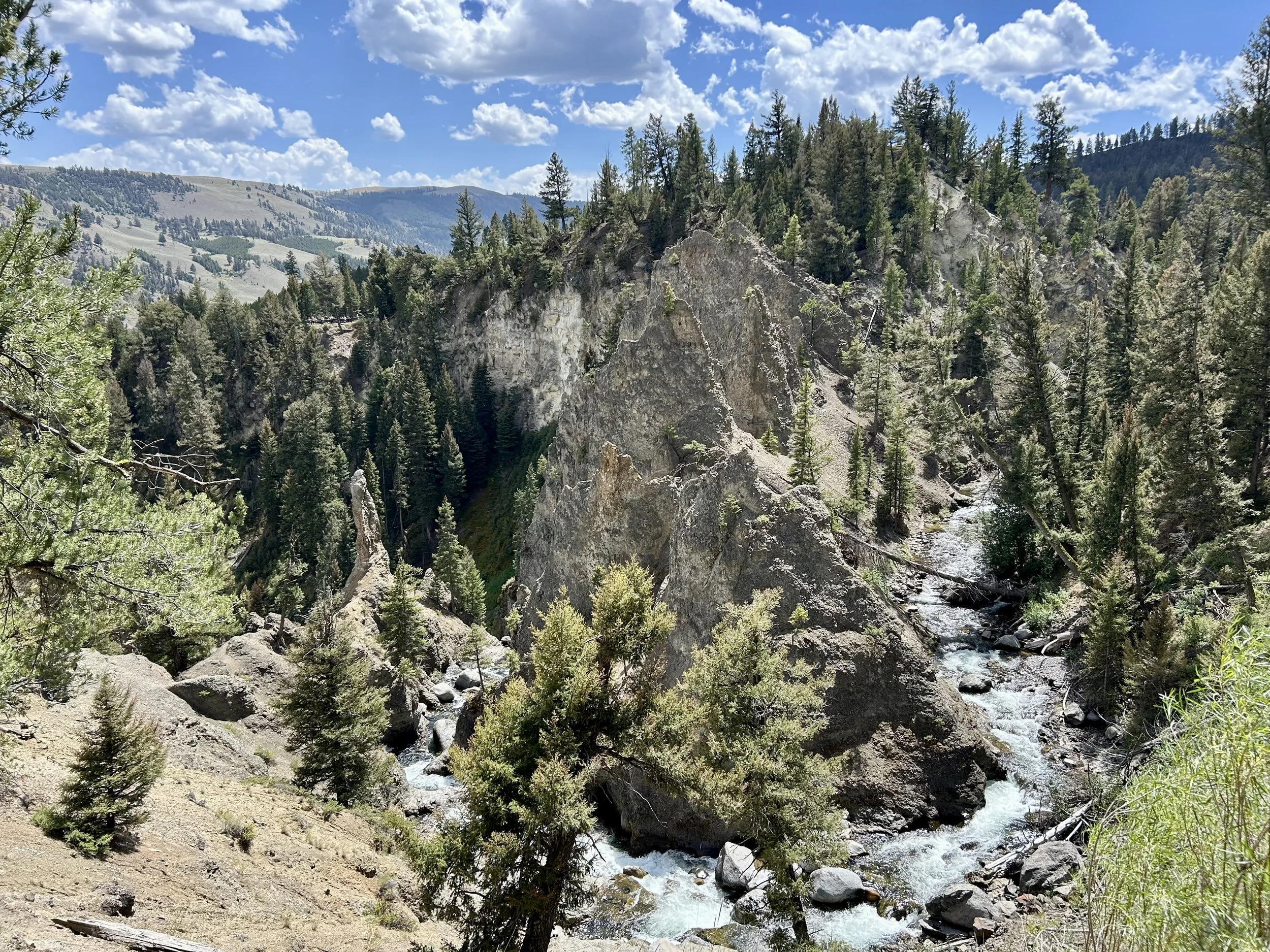
Columnar basalt along the cliffs to continue to remind us about the volcano’s past.
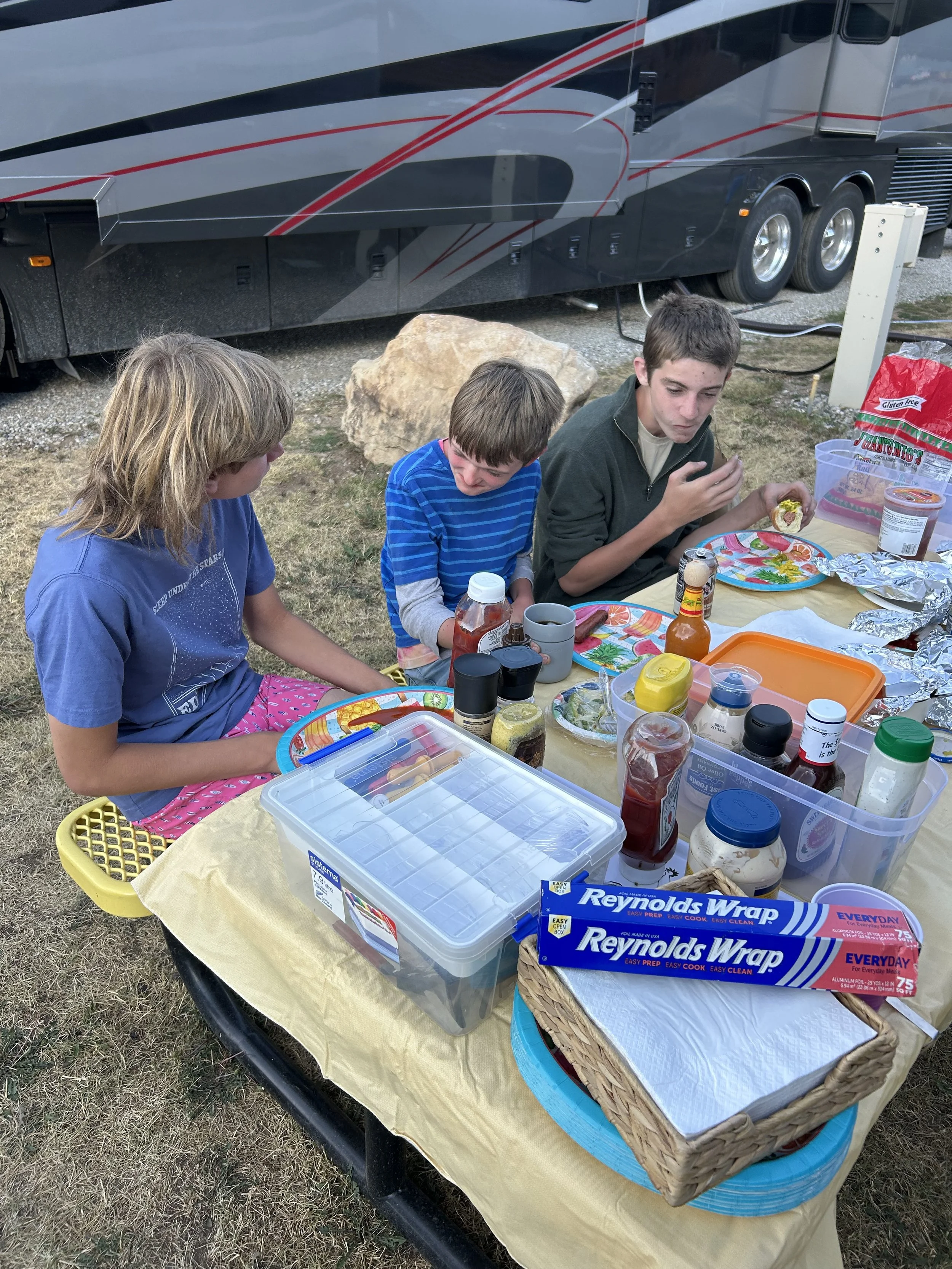
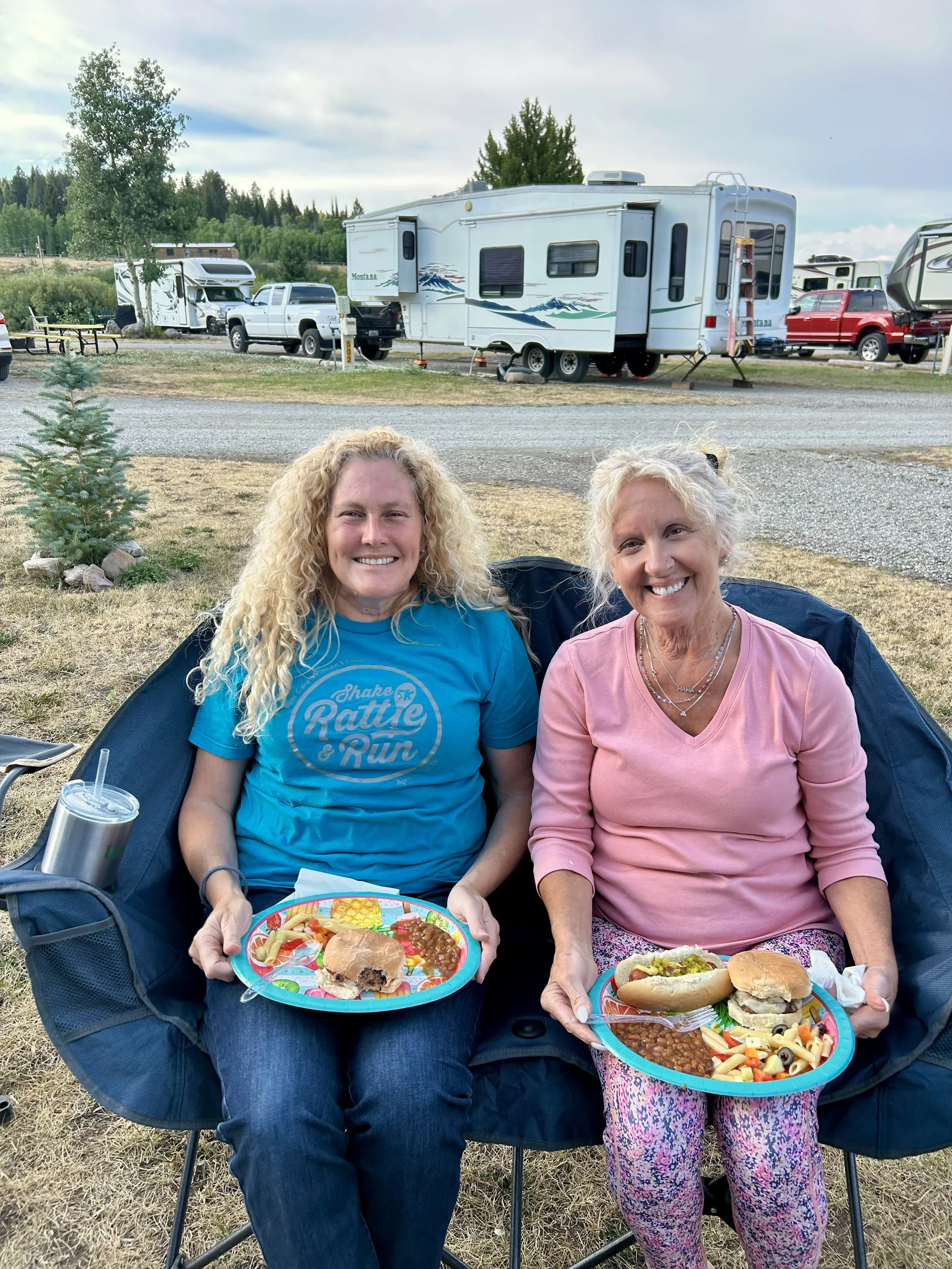
Burgers and dogs with our friends back at camp!

Sunset over our rig.


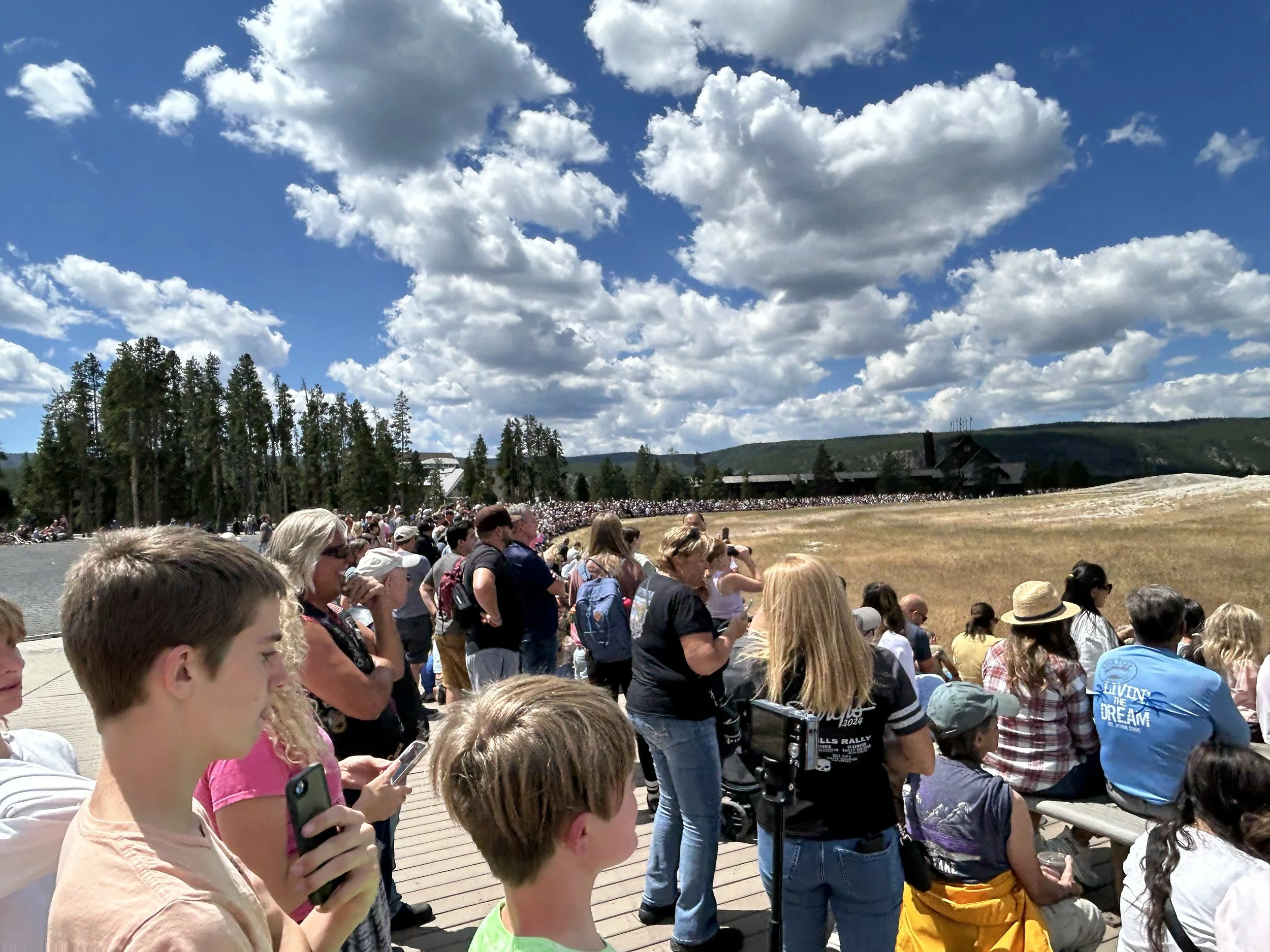
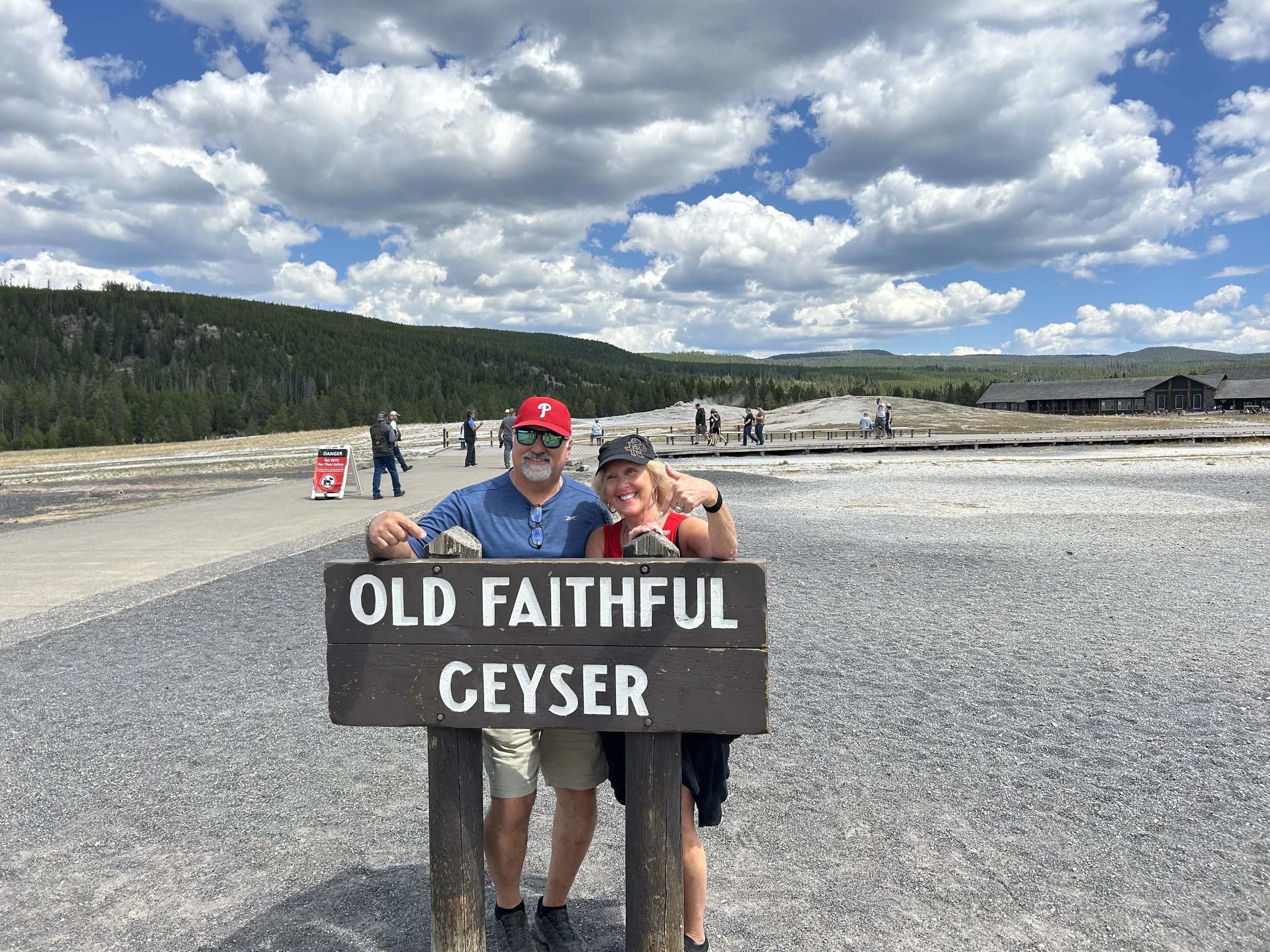
We parked in Goofy parking and took the tram to the geyser… Ok but it felt like that with all the parking and large crowds surrounding the Old Faithful Geyser for the 1:22pm show… ± 5 min :)
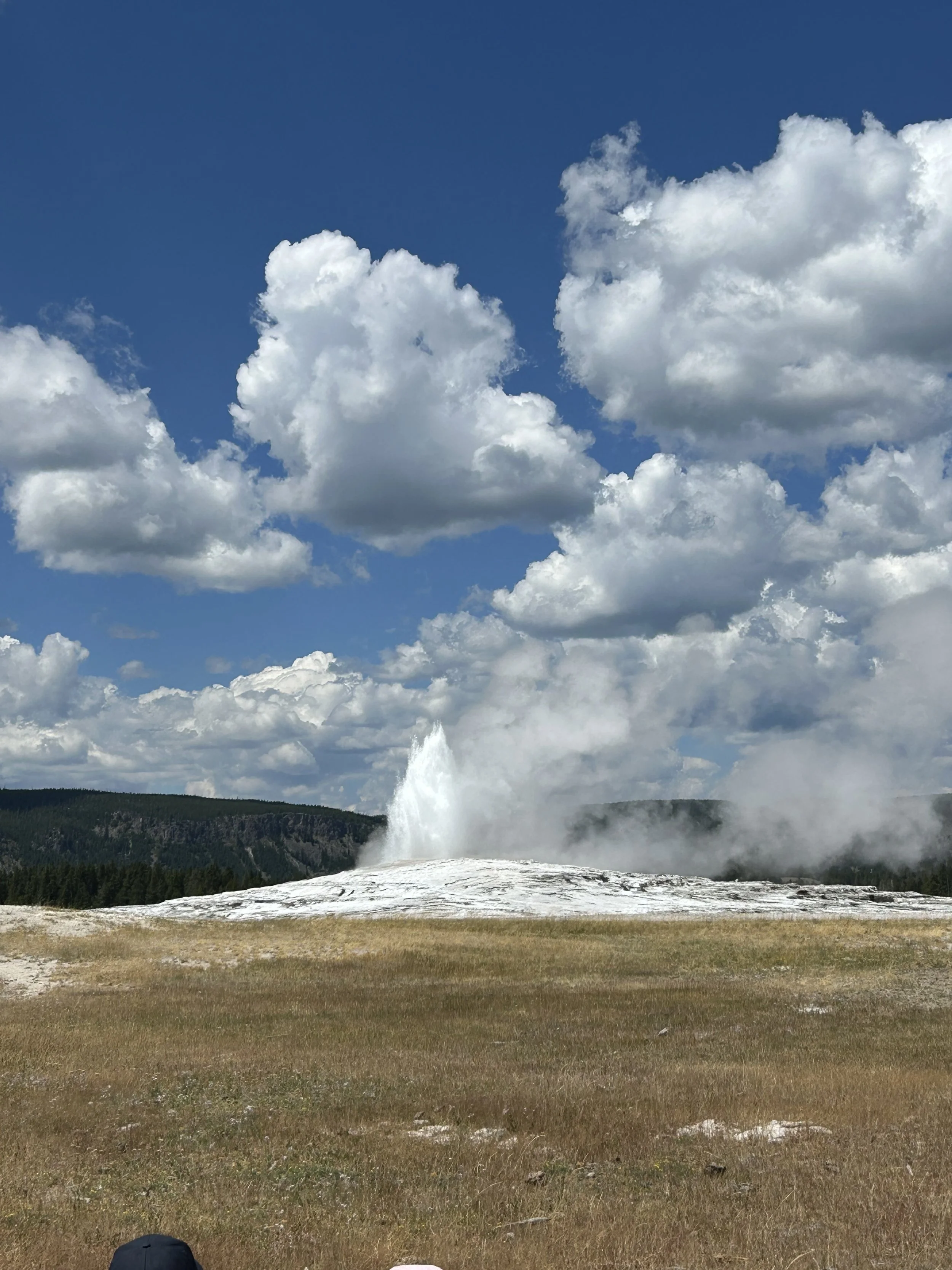
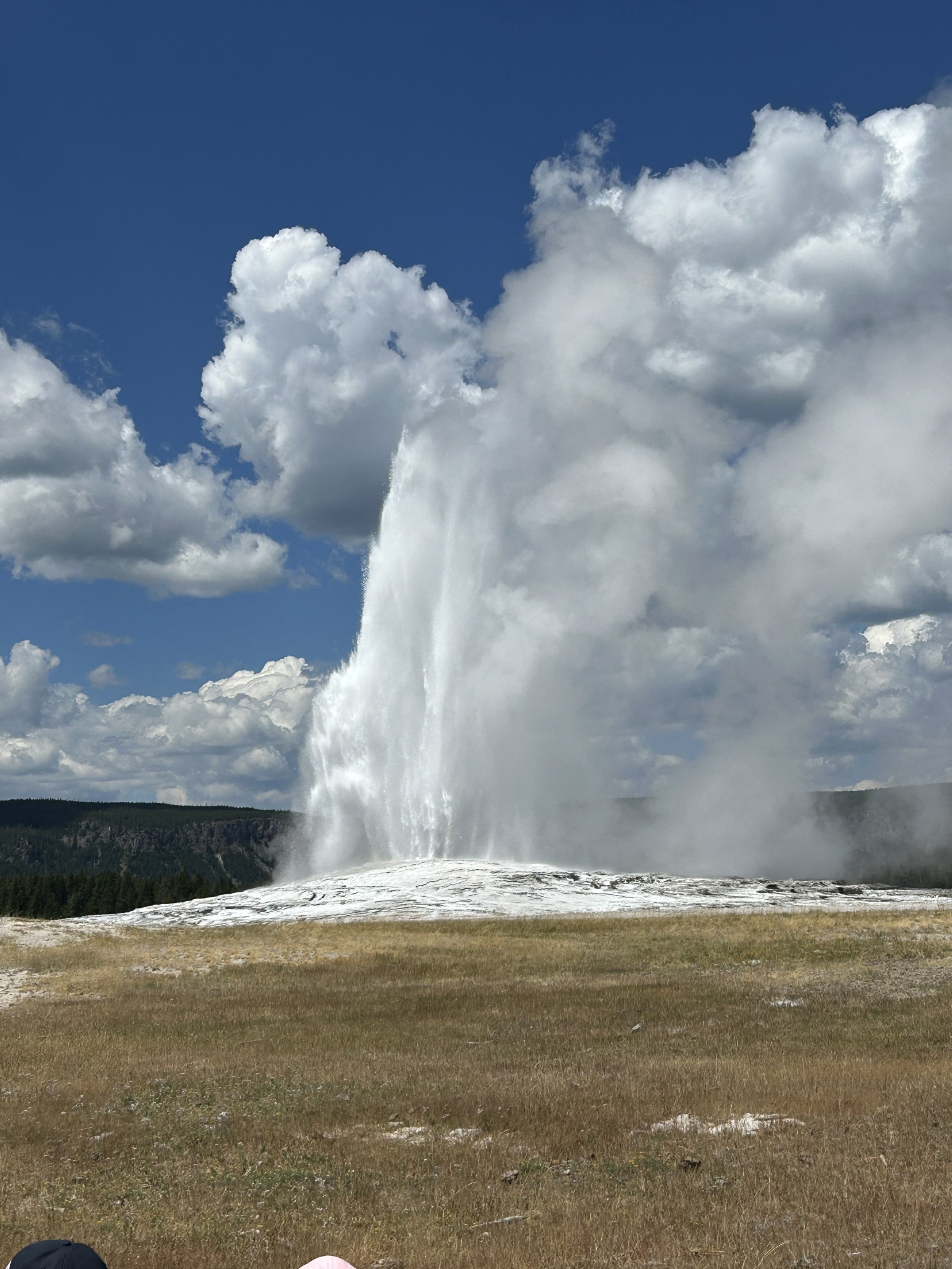
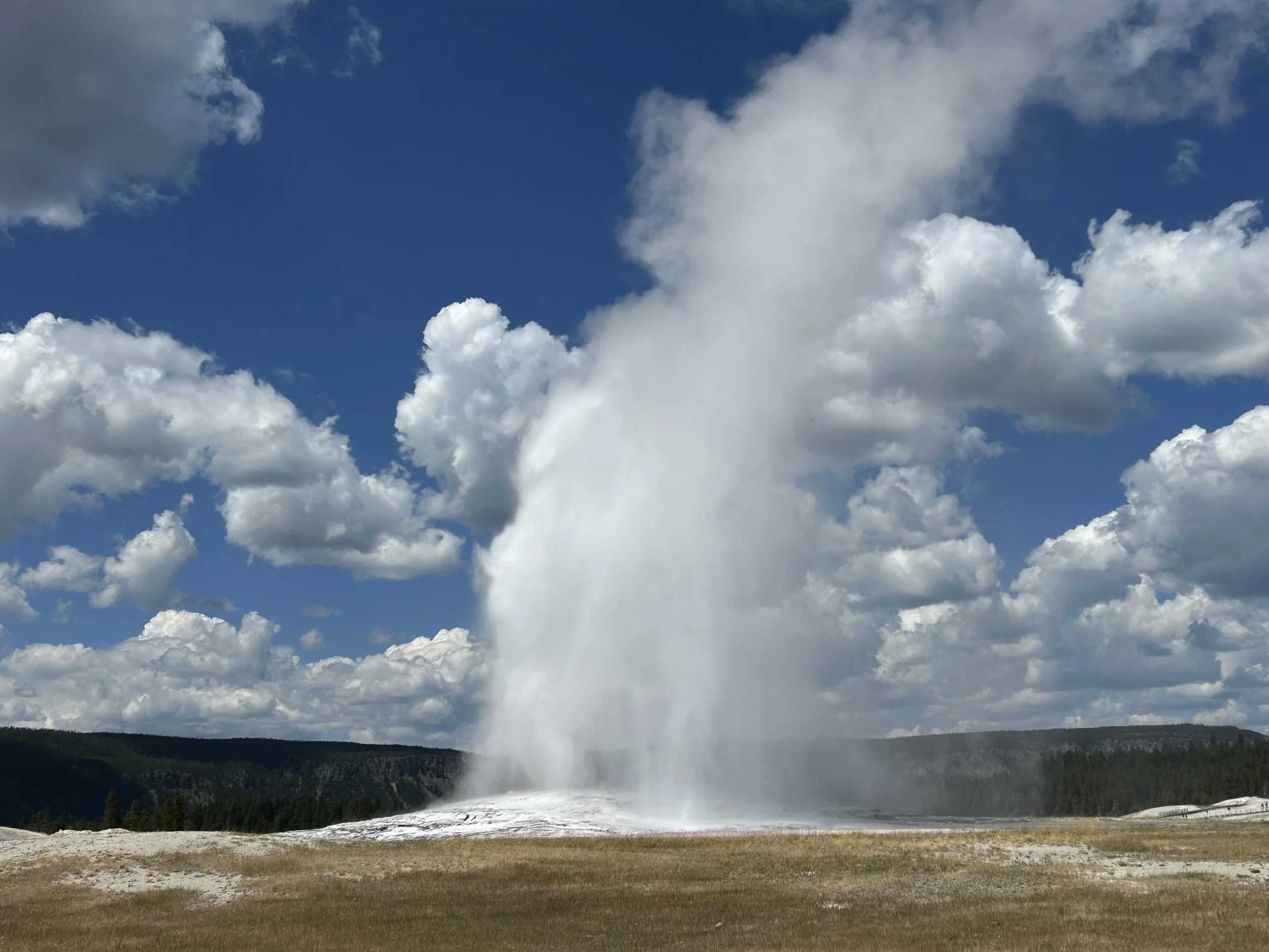


One of the discharge flows from the Old Faithful Geyser.

Old Faithful is only one of many geysers and springs along the same Upper Geyser Basin. This is Chinese Spring and was super clear and very bubbly!


Old Faithful Lodge

Grande Prismatic Springs has a number of springs. This is the largest Excelsior.
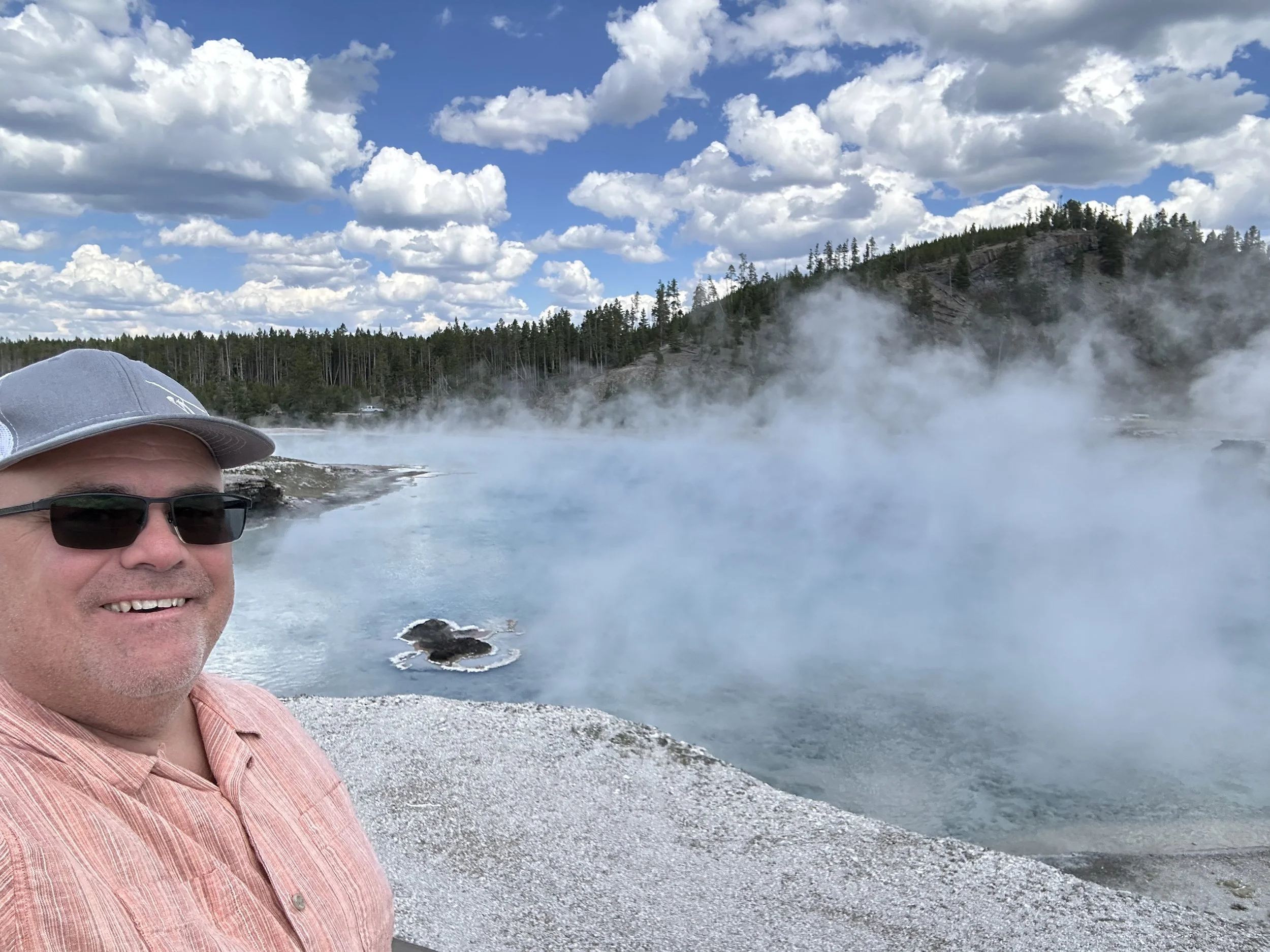


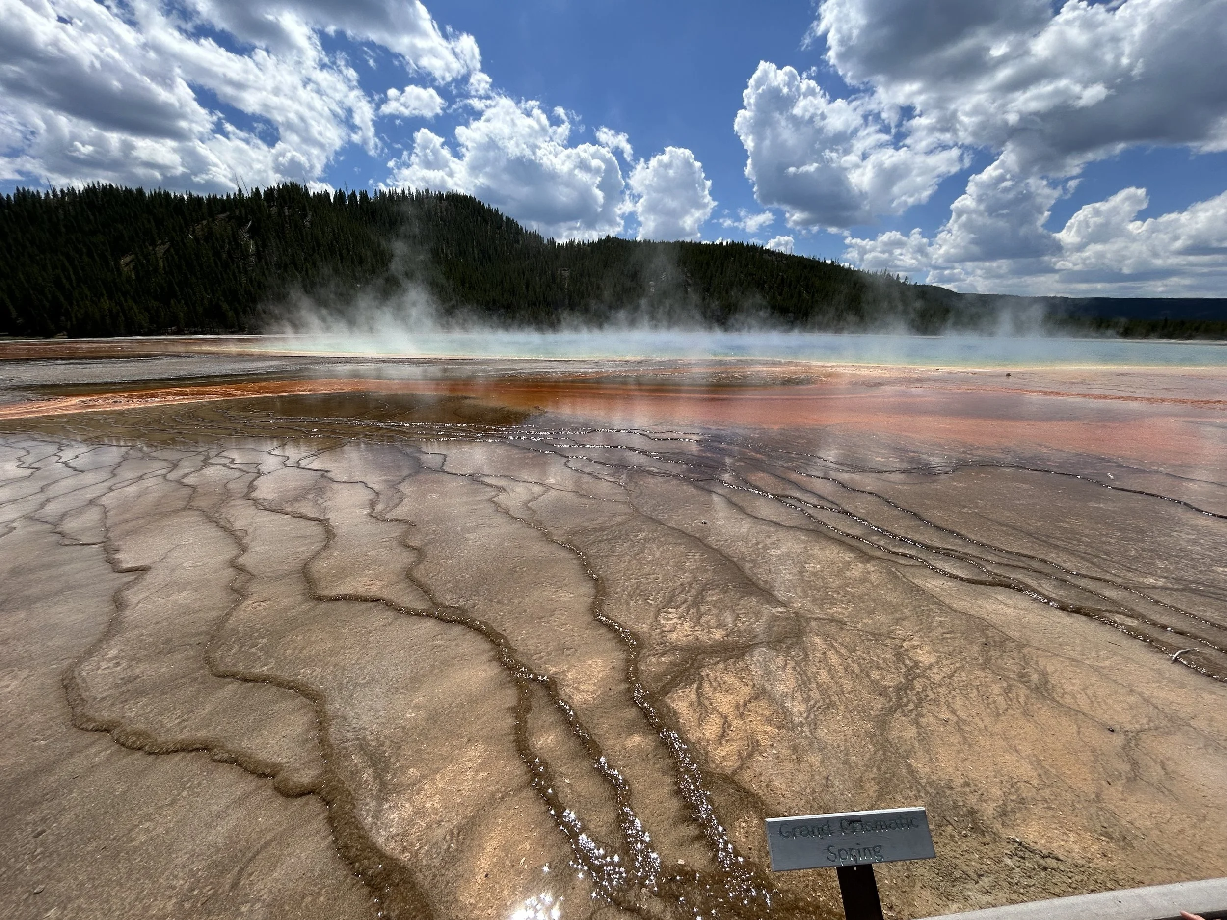
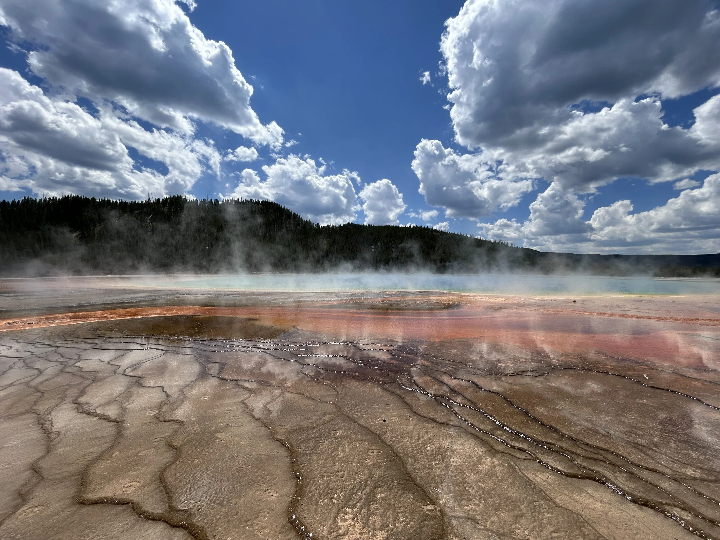
The color is for real… no filters!
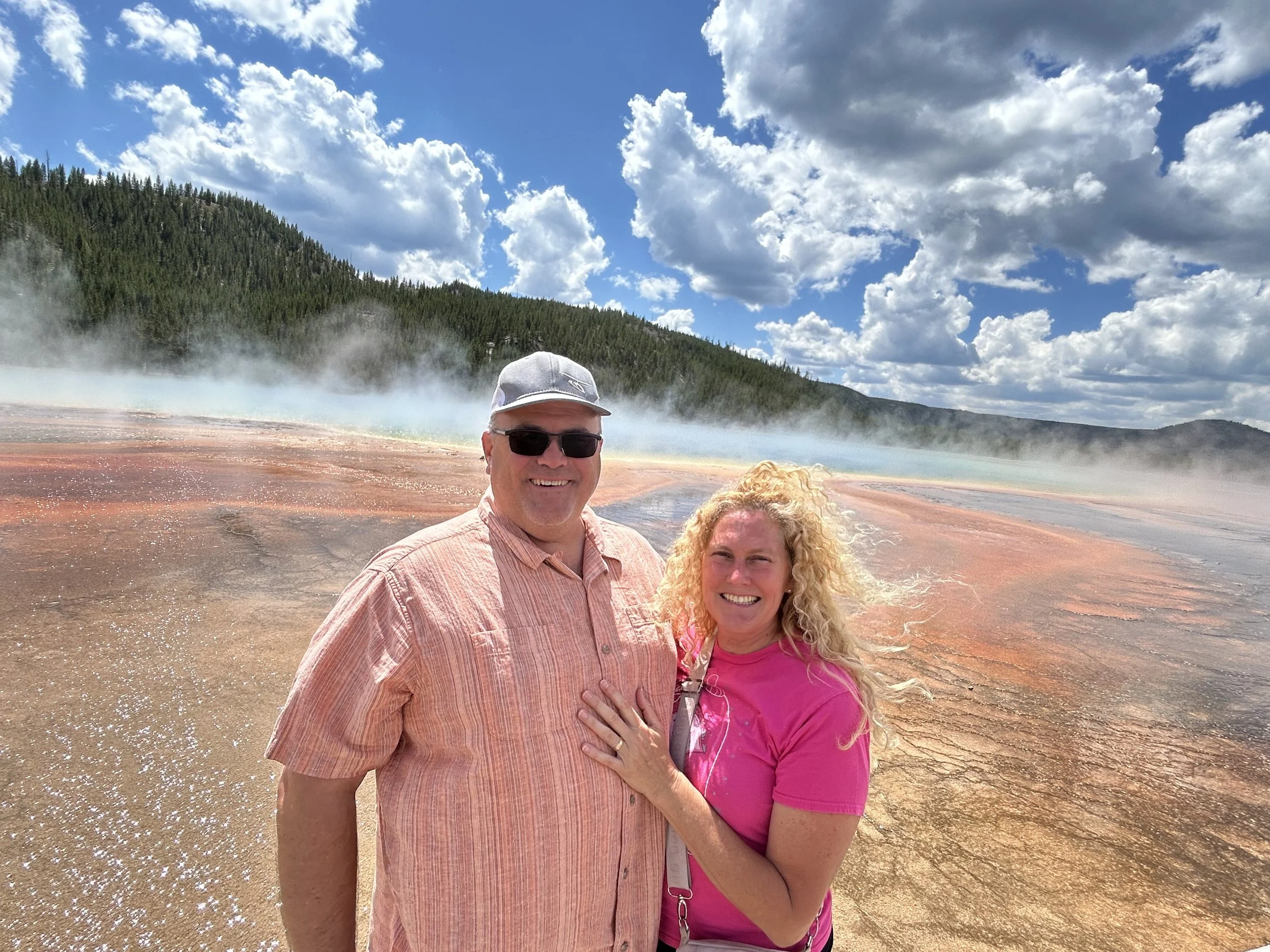


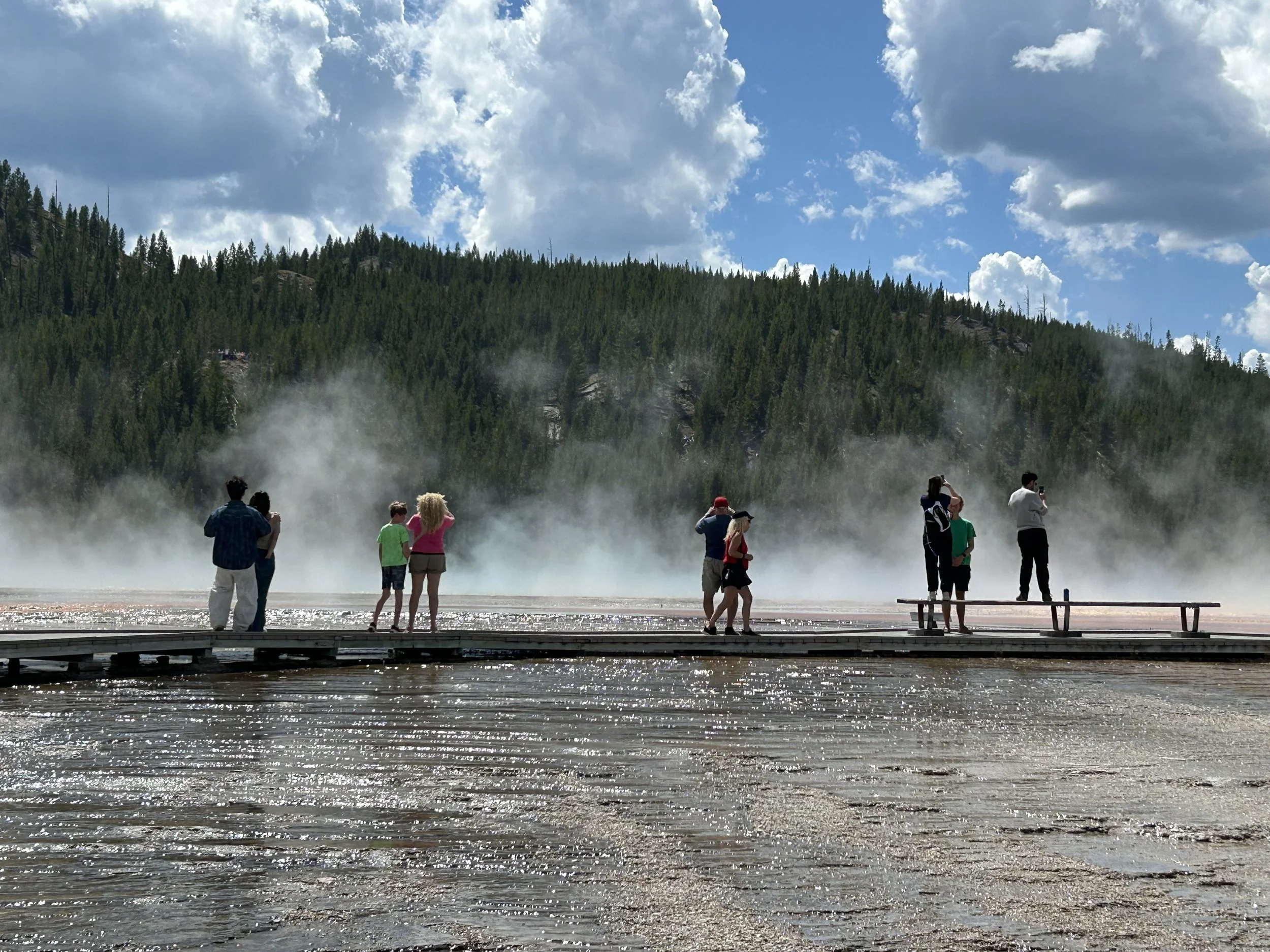
Bridge view walking across the Firehole River to the Midway Gyser Basin… also known as Grand Prismatic Hot Springs.

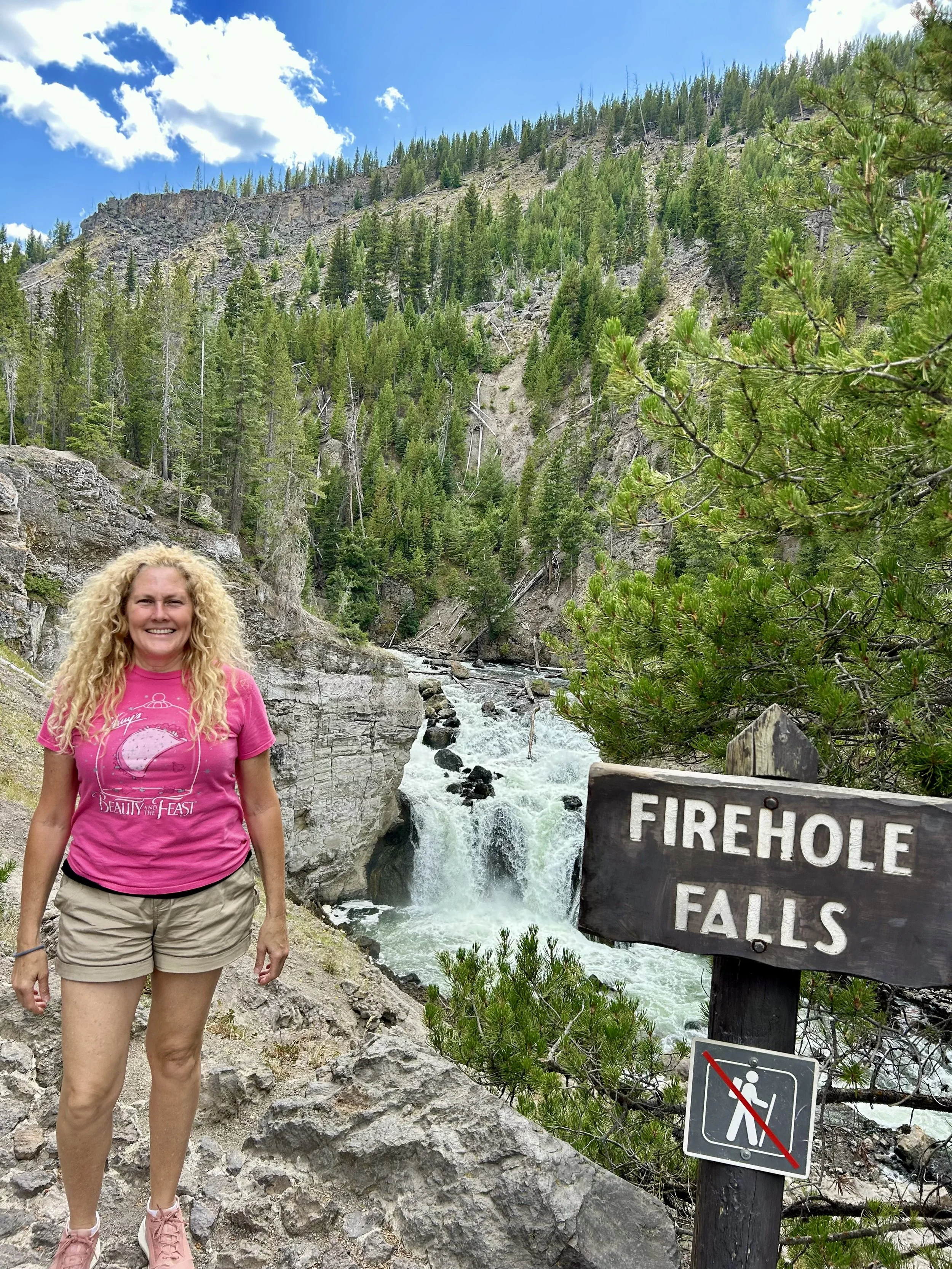
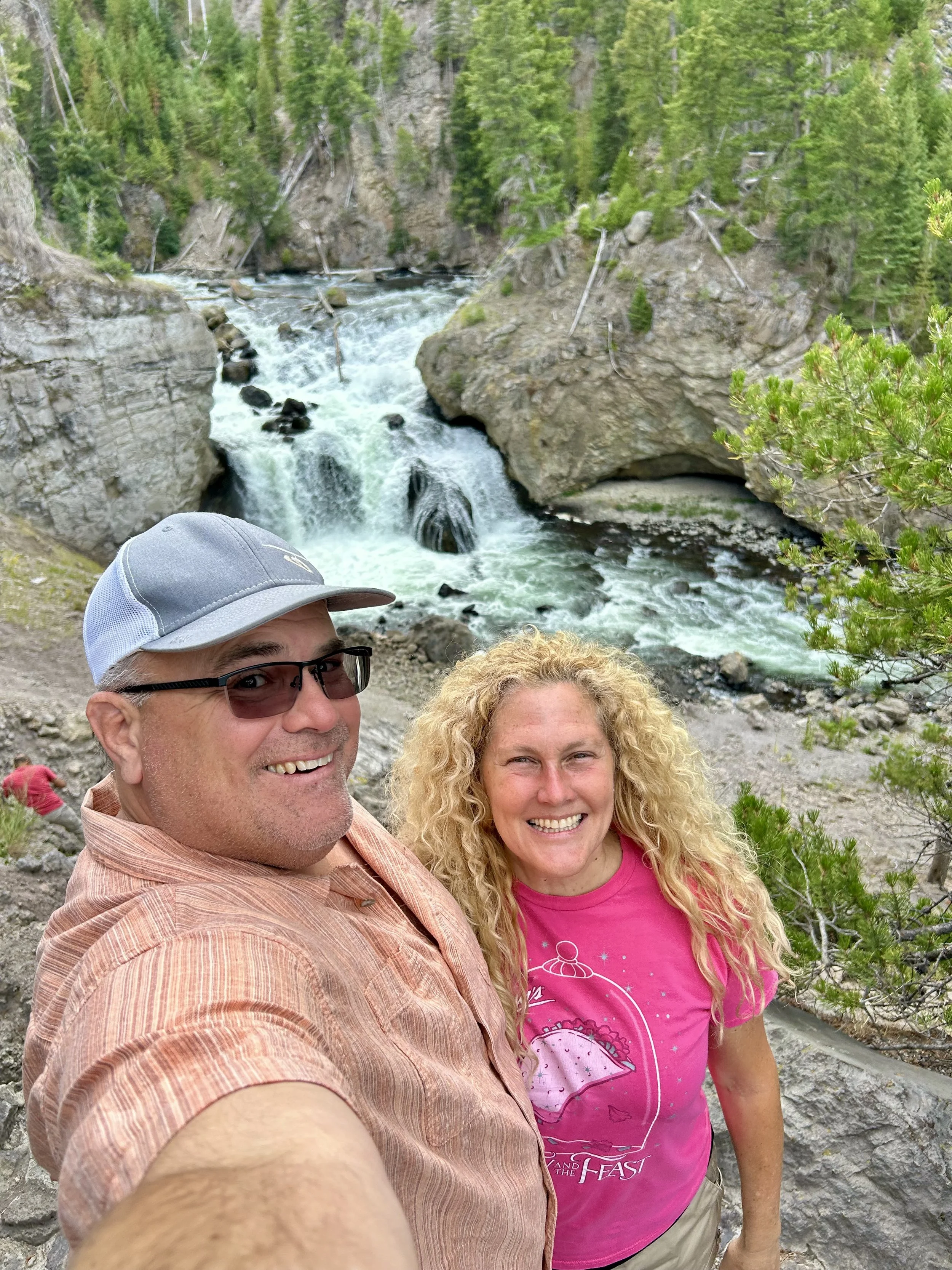
Firehole Falls with a girl on fire on Vince’s arm! Highly recommend Firehole loop as a beautiful drive but also a unique swimming hold about 2/3 up the drive. It was closed for our visit due to low water flow and bacteria build up but typically an amazing spot to swim between 2 lava flows!

Peyton turned 15 at Yellowstone so we celebrated with our friends at West Yellowstone’s Slippery Otter Pub. Happy Birthday Peyton!
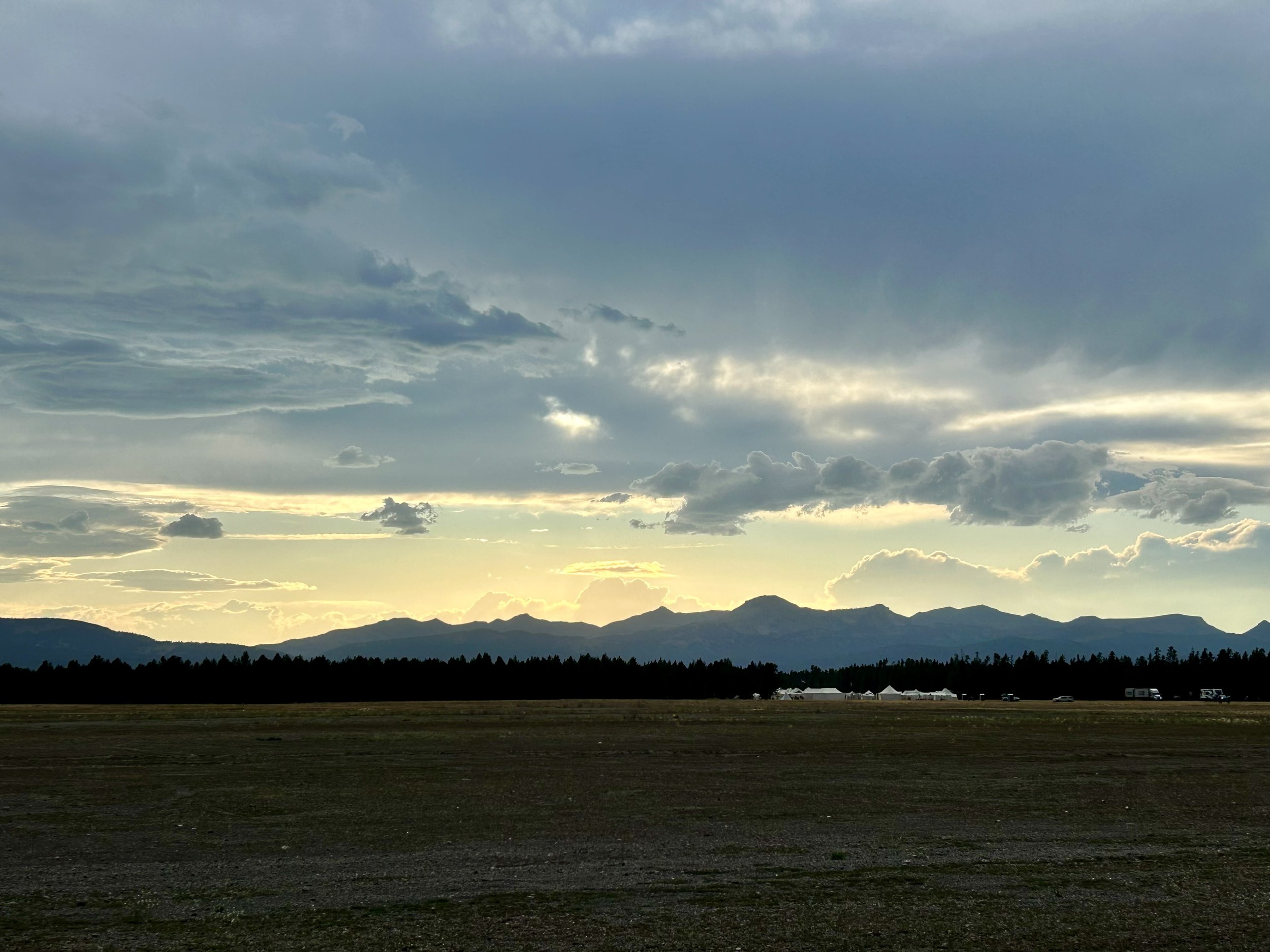
Henry Lake Mountains west of Yellowstone in Idaho made for a great backdrop for our drives back to camp each night.

Westgate was packed on our last 3 trips into the park, including this view of our last day driving south through the park to the Tetons. PRO TIP: Get an America the Beautiful Pass (National Park Pass) and you get into all National Parks. Usually the right lane is the Park Pass lane and usually take half the time… but its still time watching bumpers and license plates. We only saw 2 other FL plates so we felt special :)
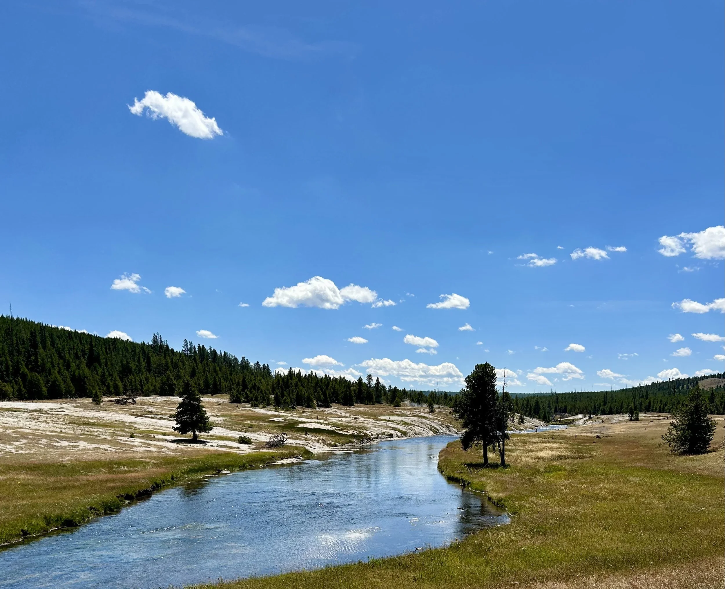
Spring Creek with some thermal features feeding the creek. This is common throughout the park but always a surreal scene.
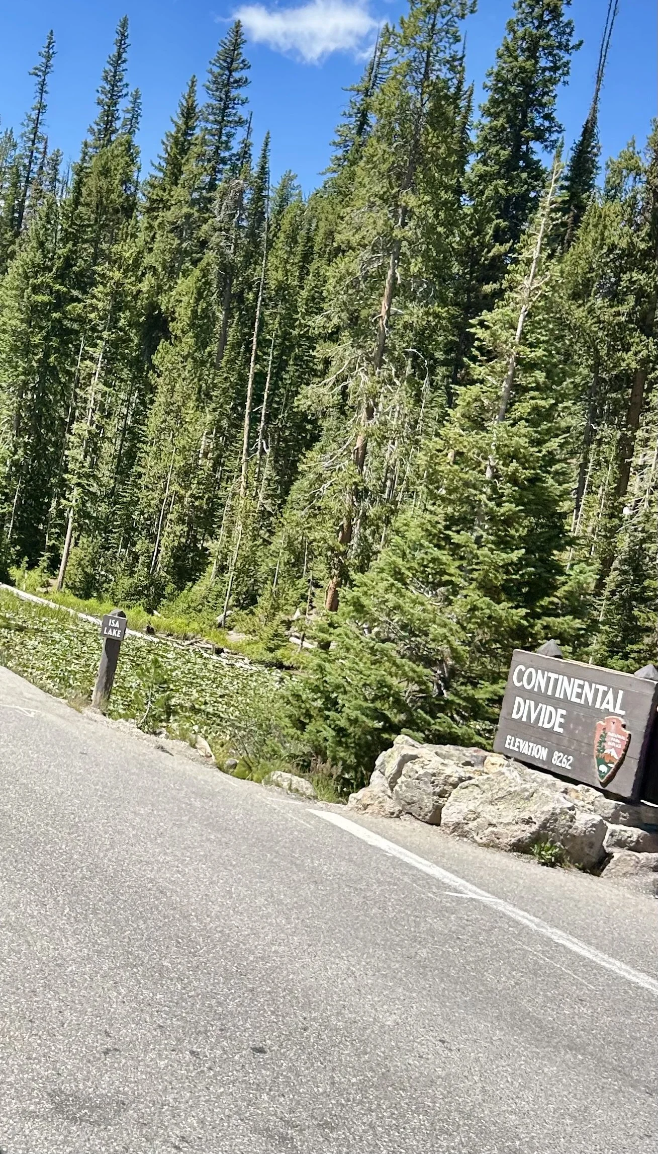
Yellowstone is deceptively high with an average elevation of 8000ft. The southern rim of the Yellowstone Caldera on the Grand Loop Rd crosses the Continental Divide a few times and the decent to West Thumb is an amazing view and makes for some burn-smelling brakes on the RV. We drove the rig hitched with our TOAD and did fine navigating the elevation change but it tested our brakes on the decent.

Lewis Falls

Lewis River

Lewis Gorge heading south out of the park.
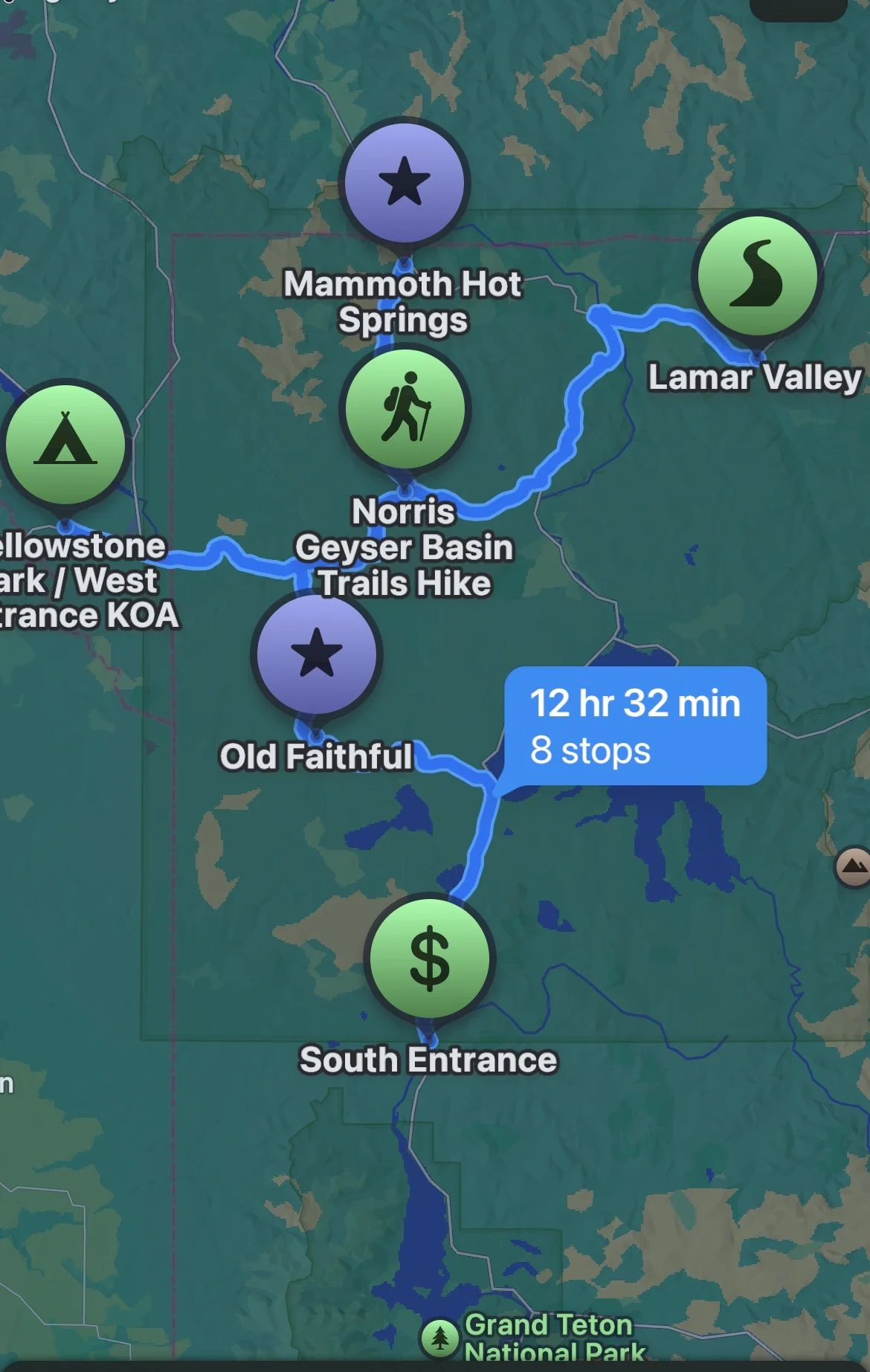
Snapshot of our primary driving routes in Yellowstone over our 5 day stay at West Yellowstone Mountainside KOA. Over 12 hours and 480 miles of beautiful driving!
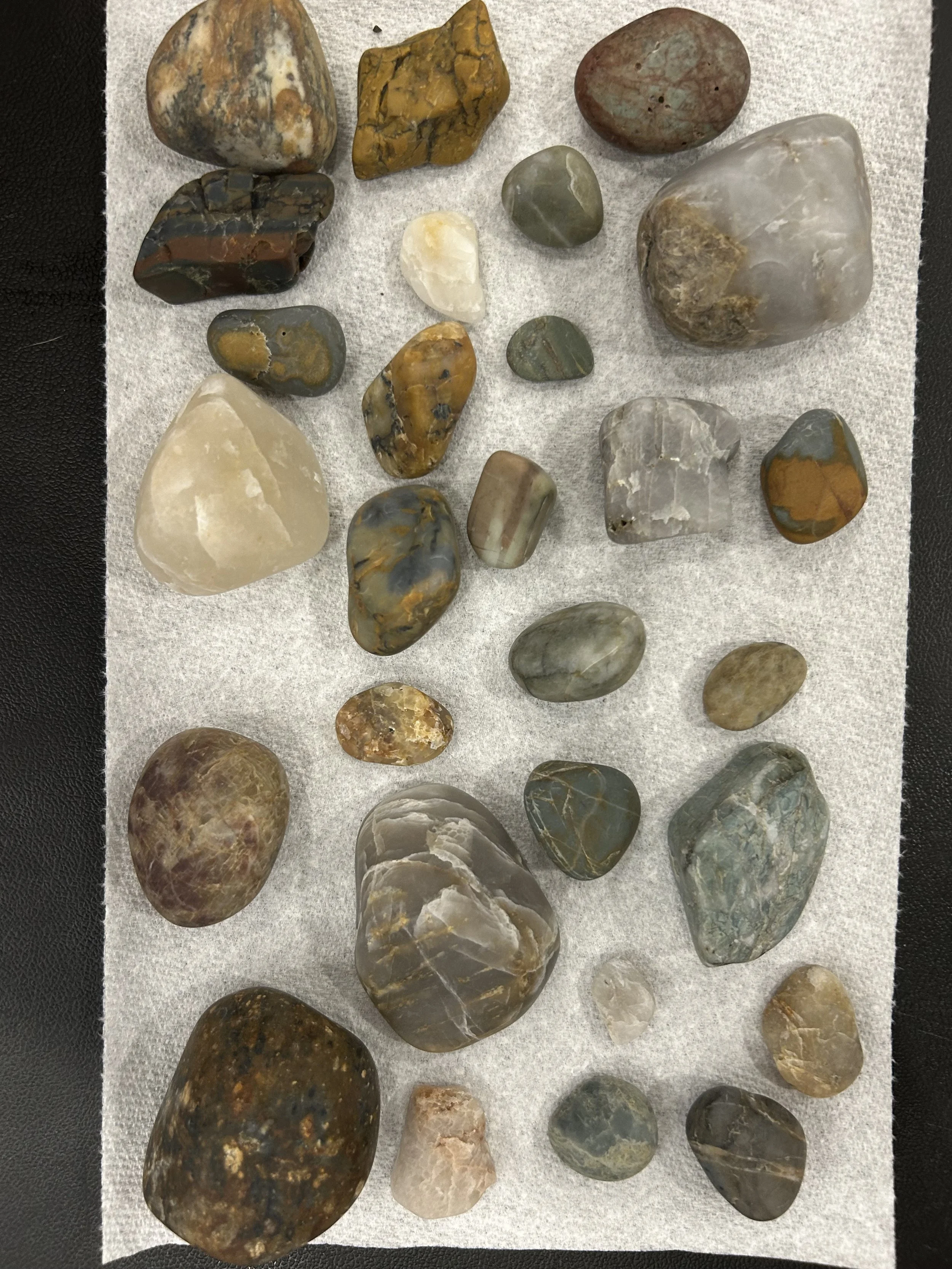
Completed stage 3 of our Washington quartz batch with some agates.